A History of the County of Oxford: Volume 17. Originally published by Boydell & Brewer for the Institute of Historical Research, Woodbridge, Suffolk, 2012.
This free content was digitised by double rekeying. All rights reserved.
'Plate 1: The local landscape', in A History of the County of Oxford: Volume 17, ed. Simon Townley (Woodbridge, Suffolk, 2012), British History Online https://prod.british-history.ac.uk/vch/oxon/vol17/plate-1 [accessed 10 May 2025].
'Plate 1: The local landscape', in A History of the County of Oxford: Volume 17. Edited by Simon Townley (Woodbridge, Suffolk, 2012), British History Online, accessed May 10, 2025, https://prod.british-history.ac.uk/vch/oxon/vol17/plate-1.
"Plate 1: The local landscape". A History of the County of Oxford: Volume 17. Ed. Simon Townley (Woodbridge, Suffolk, 2012), British History Online. Web. 10 May 2025. https://prod.british-history.ac.uk/vch/oxon/vol17/plate-1.
The local landscape
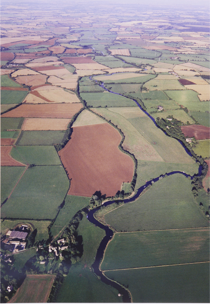
1 Looking east across the flat riverside landscape bordering the river Thames, with Kelmscott Manor in the foreground, and Grafton and Radcot in the middle distance.