Survey of London: Volumes 43 and 44, Poplar, Blackwall and Isle of Dogs. Originally published by London County Council, London, 1994.
This free content was digitised by double rekeying. All rights reserved.
'Plate 134: Lansbury Estate, later phases', in Survey of London: Volumes 43 and 44, Poplar, Blackwall and Isle of Dogs, ed. Hermione Hobhouse (London, 1994), British History Online https://prod.british-history.ac.uk/survey-london/vols43-4/plate-134 [accessed 16 April 2025].
'Plate 134: Lansbury Estate, later phases', in Survey of London: Volumes 43 and 44, Poplar, Blackwall and Isle of Dogs. Edited by Hermione Hobhouse (London, 1994), British History Online, accessed April 16, 2025, https://prod.british-history.ac.uk/survey-london/vols43-4/plate-134.
"Plate 134: Lansbury Estate, later phases". Survey of London: Volumes 43 and 44, Poplar, Blackwall and Isle of Dogs. Ed. Hermione Hobhouse (London, 1994), British History Online. Web. 16 April 2025. https://prod.british-history.ac.uk/survey-london/vols43-4/plate-134.
In this section
Lansbury Estate, Later Phases
a. Gough Walk-Hind Grove Scheme, 1970–5, looking west along Gough Walk in 1992 (pp. 243–4)
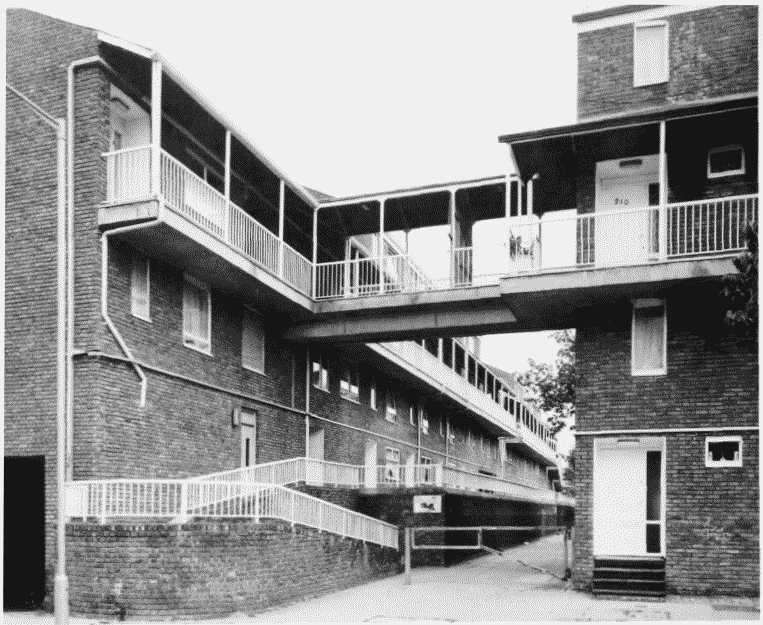
Gough Walk in 1992.
Gough Walk-Hind Grove Scheme, 1970–5, looking west along Gough Walk in 1992 (pp. 243–4)
b. Alton Street Scheme, 1958–63, looking north-west in 1992 (pp. 242–3)
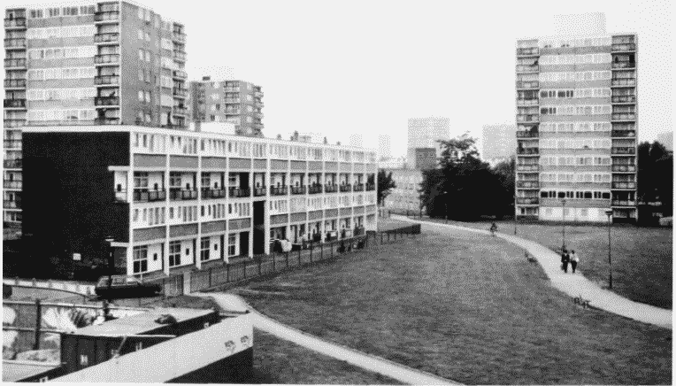
Alton Street Scheme in 1992.
Alton Street Scheme, 1958–63, looking north-west in 1992 (pp. 242–3)