Survey of London: Volume 45, Knightsbridge. Originally published by London County Council, London, 2000.
This free content was digitised by double rekeying. All rights reserved.
'Plate 60: Montpelier Square area.', in Survey of London: Volume 45, Knightsbridge, ed. John Greenacombe (London, 2000), British History Online https://prod.british-history.ac.uk/survey-london/vol45/plate-60 [accessed 11 May 2025].
'Plate 60: Montpelier Square area.', in Survey of London: Volume 45, Knightsbridge. Edited by John Greenacombe (London, 2000), British History Online, accessed May 11, 2025, https://prod.british-history.ac.uk/survey-london/vol45/plate-60.
"Plate 60: Montpelier Square area.". Survey of London: Volume 45, Knightsbridge. Ed. John Greenacombe (London, 2000), British History Online. Web. 11 May 2025. https://prod.british-history.ac.uk/survey-london/vol45/plate-60.
In this section
Montpelier Square Area 1991–5
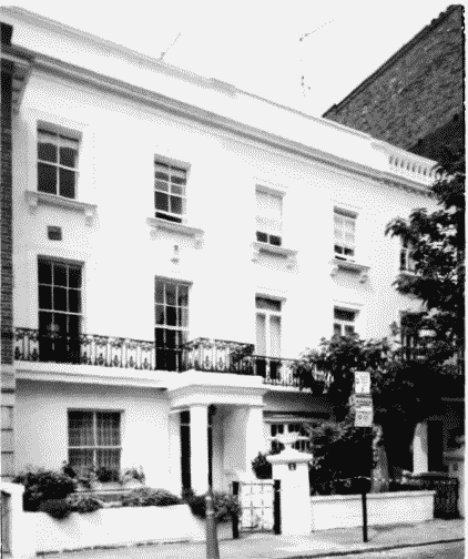
a. Nos 6–7 Montpelier Terrace, built 1851–2 (p.116)
Montpelier Square area
Nos 6–7 Montpelier Terrace, built 1851–2 (p.116)
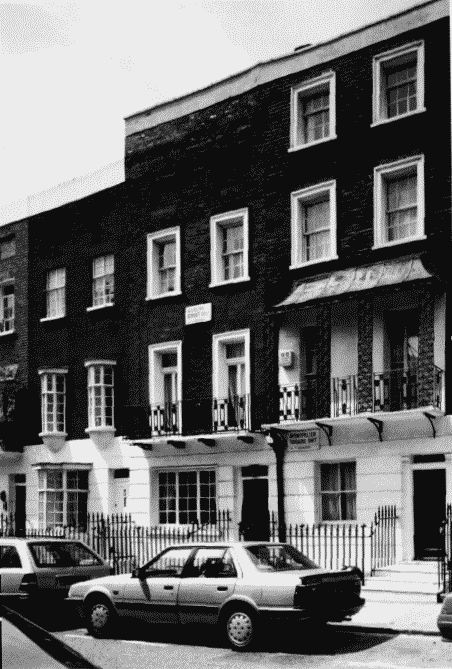
b. 17A Montpelier Square (right) and Nos 5 and 6 Sterling Street (p. 118)
Montpelier Square area
17A Montpelier Square (right) and Nos 5 and 6 Sterling Street (p. 118)
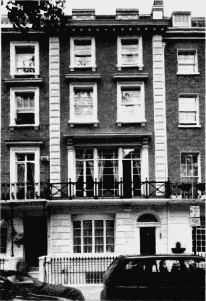
c (below). No. 35 Montpelier Square, built c. 1849 (p. 114)
Montpelier Square area
(below). No. 35 Montpelier Square, built c. 1849 (p. 114)
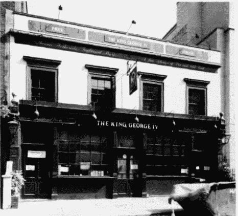
d (below). The King George IV public house, built c. 1827, in 1991 (p.111).
Montpelier Square area
(below). The King George IV public house, built c. 1827, in 1991 (p.111).
Demolished