Survey of London: Volume 41, Brompton. Originally published by London County Council, London, 1983.
This free content was digitised by double rekeying. All rights reserved.
'Plate 1: Aerial view of Southern Kensington', in Survey of London: Volume 41, Brompton, ed. F H W Sheppard (London, 1983), British History Online https://prod.british-history.ac.uk/survey-london/vol41/plate-1 [accessed 15 April 2025].
'Plate 1: Aerial view of Southern Kensington', in Survey of London: Volume 41, Brompton. Edited by F H W Sheppard (London, 1983), British History Online, accessed April 15, 2025, https://prod.british-history.ac.uk/survey-london/vol41/plate-1.
"Plate 1: Aerial view of Southern Kensington". Survey of London: Volume 41, Brompton. Ed. F H W Sheppard (London, 1983), British History Online. Web. 15 April 2025. https://prod.british-history.ac.uk/survey-london/vol41/plate-1.
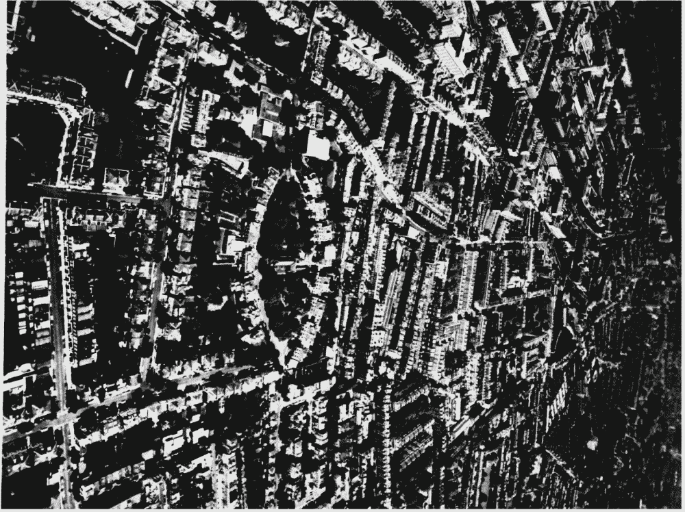
Southern Kensington, aerial view from the south-west in June 1973.
Southern Kensington, aerial view from south-west in June 1973.
Southern Kensington, aerial view from the south-west in June 1973.
The east end of Redcliffe Square appears in the left foreground.The Boltons in the center, and the museums area and Hyde Park in the distance