Survey of London: Volume 40, the Grosvenor Estate in Mayfair, Part 2 (The Buildings). Originally published by London County Council, London, 1980.
This free content was digitised by double rekeying. All rights reserved.
'Plate 20', in Survey of London: Volume 40, the Grosvenor Estate in Mayfair, Part 2 (The Buildings), ed. F H W Sheppard (London, 1980), British History Online https://prod.british-history.ac.uk/survey-london/vol40/pt2/plate-20 [accessed 10 May 2025].
'Plate 20', in Survey of London: Volume 40, the Grosvenor Estate in Mayfair, Part 2 (The Buildings). Edited by F H W Sheppard (London, 1980), British History Online, accessed May 10, 2025, https://prod.british-history.ac.uk/survey-london/vol40/pt2/plate-20.
"Plate 20". Survey of London: Volume 40, the Grosvenor Estate in Mayfair, Part 2 (The Buildings). Ed. F H W Sheppard (London, 1980), British History Online. Web. 10 May 2025. https://prod.british-history.ac.uk/survey-london/vol40/pt2/plate-20.
In this section
a. St. Anselm's Church and Vicarage, Davies Street, from north-east in April 1939.
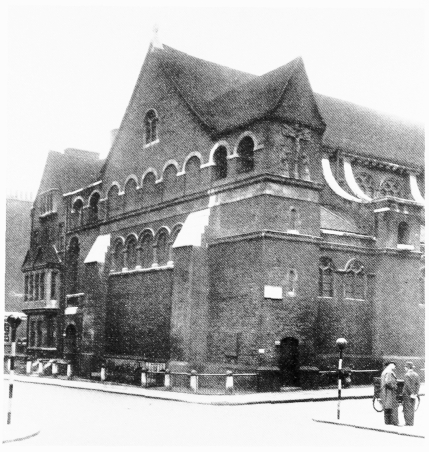
St. Anselm's Church and Vicarage, Davies Street, from north-east in April 1939.
Balfour and Turner, architects, 1894–6 (p. 76). Demolished
b. Font from St. Anselm's Church, Davies Street, now at St. Anselm's, Belmont, in 1975
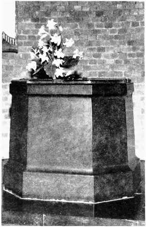
Font from St. Anselm's Church, Davies Street, now at St. Anselm's, Belmont, in 1975
c. South Molton Lane, looking north-west in late 19th century.
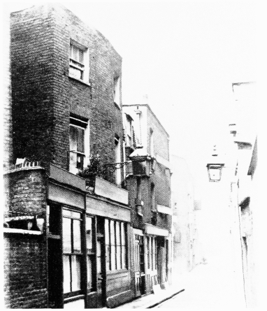
South Molton Lane, looking north-west in late 19th century.
Demolished
d. St. Anselm's Church, Davies Street, interior, looking east before 1919 (p. 77).
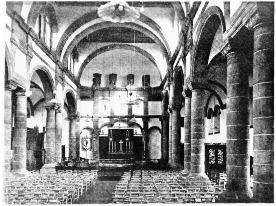
St. Anselm's Church, Davies Street, interior, looking east before 1919 (p. 77).
Demolished
e. Davies Mews (left) and South Molton Lane in 1976.
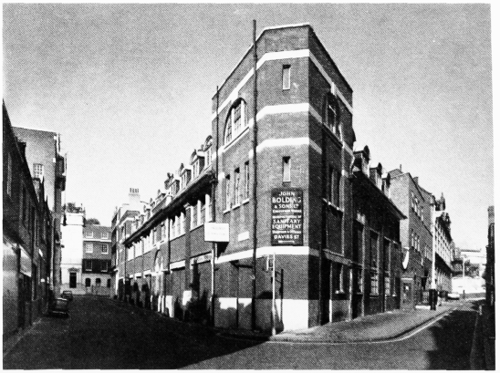
Davies Mews (left) and South Molton Lane in 1976.
Nos, 1–7 Davies Mews and 28 and 30 South Molton Lane (Reginald Blomfield, architect, 1902–3) in centre (p. 83)