Survey of London: Volume 40, the Grosvenor Estate in Mayfair, Part 2 (The Buildings). Originally published by London County Council, London, 1980.
This free content was digitised by double rekeying. All rights reserved.
'Plate 19: Davies Street', in Survey of London: Volume 40, the Grosvenor Estate in Mayfair, Part 2 (The Buildings), ed. F H W Sheppard (London, 1980), British History Online https://prod.british-history.ac.uk/survey-london/vol40/pt2/plate-19 [accessed 10 May 2025].
'Plate 19: Davies Street', in Survey of London: Volume 40, the Grosvenor Estate in Mayfair, Part 2 (The Buildings). Edited by F H W Sheppard (London, 1980), British History Online, accessed May 10, 2025, https://prod.british-history.ac.uk/survey-london/vol40/pt2/plate-19.
"Plate 19: Davies Street". Survey of London: Volume 40, the Grosvenor Estate in Mayfair, Part 2 (The Buildings). Ed. F H W Sheppard (London, 1980), British History Online. Web. 10 May 2025. https://prod.british-history.ac.uk/survey-london/vol40/pt2/plate-19.
In this section
Davies Street
a. Nos. 3–7 (odd) in the 1930's F. T. Pilkington, architect, 1888–9.
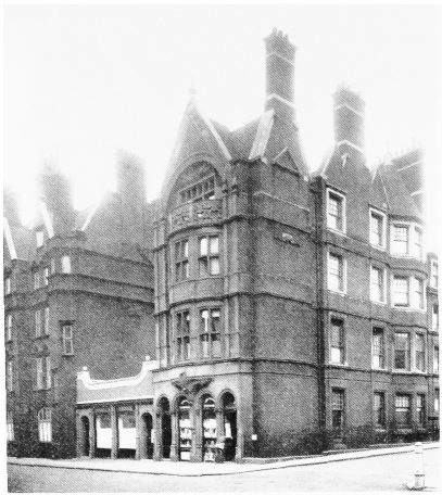
Davies Street
Nos. 3–7 (odd) in the 1930's F. T. Pilkington, architect, 1888–9.
Part of Nos. 1–5 (consec.) Mount Street to left (p. 321). Demolished
b. Nos. 75–85 (odd) Davies Street and 7–9 (odd) Weighhouse Street in 1968.
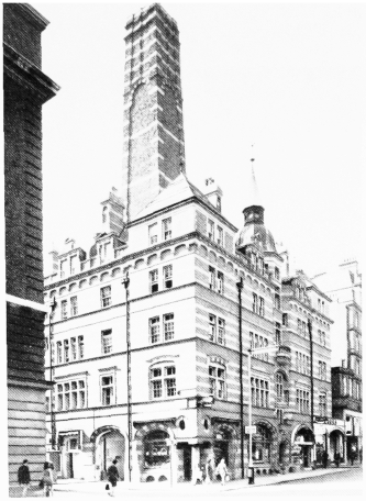
Davies Street
Nos. 75–85 (odd) Davies Street and 7–9 (odd) Weighhouse Street in 1968.
C. Stanley Peach, architect, 1890–1 (p. 80). Demolished
c. No. 56, Headquarters of St. George's Rifles, in 1891.
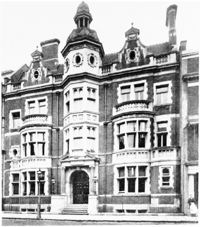
Davies Street
No. 56, Headquarters of St. George's Rifles, in 1891.
C. H. Shoppee, architect, 1889–90 (p. 75). Destroyed
d. Grosvenor Market, looking west in 1882 (pp. 68–9).
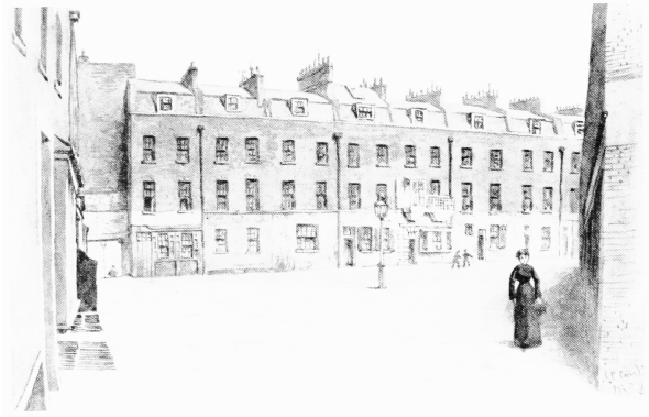
Davies Street
Grosvenor Market, looking west in 1882 (pp. 68–9).
Demolished
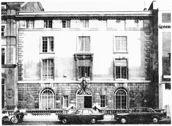
e. No. 56 in 1978.
Davies Street
No. 56 in 1978.
Trenwith Wills, architect, 1950–2 (p. 75)