Survey of London: Volume 36, Covent Garden. Originally published by London County Council, London, 1970.
This free content was digitised by double rekeying. All rights reserved.
'Plate 53', in Survey of London: Volume 36, Covent Garden, ed. F H W Sheppard (London, 1970), British History Online https://prod.british-history.ac.uk/survey-london/vol36/plate-53 [accessed 18 April 2025].
'Plate 53', in Survey of London: Volume 36, Covent Garden. Edited by F H W Sheppard (London, 1970), British History Online, accessed April 18, 2025, https://prod.british-history.ac.uk/survey-london/vol36/plate-53.
"Plate 53". Survey of London: Volume 36, Covent Garden. Ed. F H W Sheppard (London, 1970), British History Online. Web. 18 April 2025. https://prod.british-history.ac.uk/survey-london/vol36/plate-53.
In this section
a. No. 21 Russell Street in 1890.
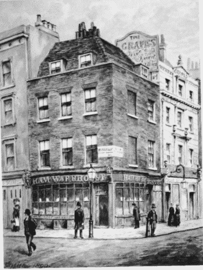
No. 21 Russell Street.
Demolished
b. York Street, north side, now Nos. 11–21 (odd) Tavistock Street (p. 197)
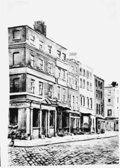
York Street, north side.
c. White Hart Street looking north-east and south-west in 1898 (p. 269).
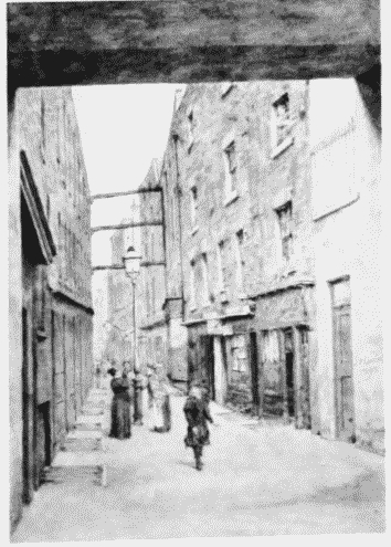
White Hart Street looking northeast and south-west.
Demolished
d. White Hart Street looking north-east and south-west in 1898 (p. 269).
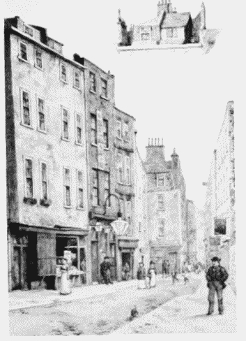
White Hart Street looking northeast and south-west.
Demolished