Survey of London: Volume 36, Covent Garden. Originally published by London County Council, London, 1970.
This free content was digitised by double rekeying. All rights reserved.
'Plate 52', in Survey of London: Volume 36, Covent Garden, ed. F H W Sheppard (London, 1970), British History Online https://prod.british-history.ac.uk/survey-london/vol36/plate-52 [accessed 18 April 2025].
'Plate 52', in Survey of London: Volume 36, Covent Garden. Edited by F H W Sheppard (London, 1970), British History Online, accessed April 18, 2025, https://prod.british-history.ac.uk/survey-london/vol36/plate-52.
"Plate 52". Survey of London: Volume 36, Covent Garden. Ed. F H W Sheppard (London, 1970), British History Online. Web. 18 April 2025. https://prod.british-history.ac.uk/survey-london/vol36/plate-52.
In this section
a. Bow Street, east side in c. 1877.
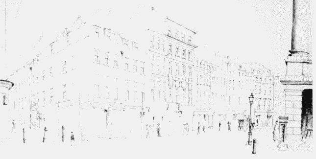
Bow Street, east side.
Demolished
b. Broad Court, 1754–7, looking east in 1877 (p. 40).
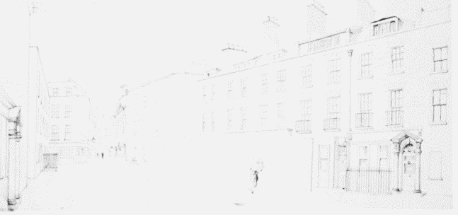
Broad Court looking east.
Demolished
c. Bow Street looking north in 1851.
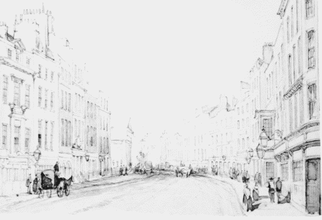
Bow Street looking north.
Demolished