Survey of London: Volume 26, Lambeth: Southern Area. Originally published by London County Council, London, 1956.
This free content was digitised by double rekeying. All rights reserved.
'Plate 35', in Survey of London: Volume 26, Lambeth: Southern Area, ed. F H W Sheppard (London, 1956), British History Online https://prod.british-history.ac.uk/survey-london/vol26/plate-35 [accessed 25 April 2025].
'Plate 35', in Survey of London: Volume 26, Lambeth: Southern Area. Edited by F H W Sheppard (London, 1956), British History Online, accessed April 25, 2025, https://prod.british-history.ac.uk/survey-london/vol26/plate-35.
"Plate 35". Survey of London: Volume 26, Lambeth: Southern Area. Ed. F H W Sheppard (London, 1956), British History Online. Web. 25 April 2025. https://prod.british-history.ac.uk/survey-london/vol26/plate-35.
In this section
a. St. Jude's Primary School, Railton Road, 1834 (p. 137)
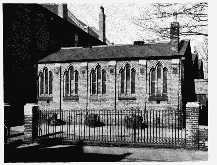
St. Jude's Primary School, Railton Road
St. Jude's Primary School, Railton Road, 1834 (p. 137)
b. Kennington Manor Secondary School, Kennington Road, 1897 and 1900.
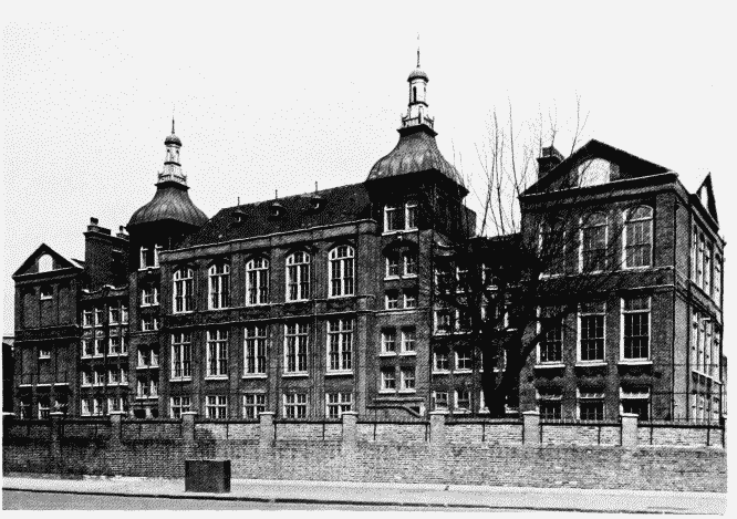
Kennington Manor Secondary School, Kennington Road
Kennington Manor Secondary School, Kennington Road, 1897 and 1900.
T. J. Bailey, architect (p. 48)