Survey of London: Volume 26, Lambeth: Southern Area. Originally published by London County Council, London, 1956.
This free content was digitised by double rekeying. All rights reserved.
'Plate 34', in Survey of London: Volume 26, Lambeth: Southern Area, ed. F H W Sheppard (London, 1956), British History Online https://prod.british-history.ac.uk/survey-london/vol26/plate-34 [accessed 25 April 2025].
'Plate 34', in Survey of London: Volume 26, Lambeth: Southern Area. Edited by F H W Sheppard (London, 1956), British History Online, accessed April 25, 2025, https://prod.british-history.ac.uk/survey-london/vol26/plate-34.
"Plate 34". Survey of London: Volume 26, Lambeth: Southern Area. Ed. F H W Sheppard (London, 1956), British History Online. Web. 25 April 2025. https://prod.british-history.ac.uk/survey-london/vol26/plate-34.
In this section
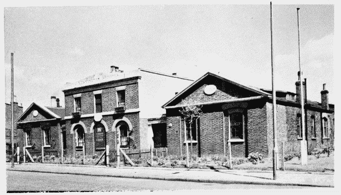
a. St. Mark's Primary School, Harleyford Road, 1824–5.
St. Mark's Primary School, Harleyford Road
St. Mark's Primary School, Harleyford Road, 1824–5.
J. Bailey, architect (p. 25)
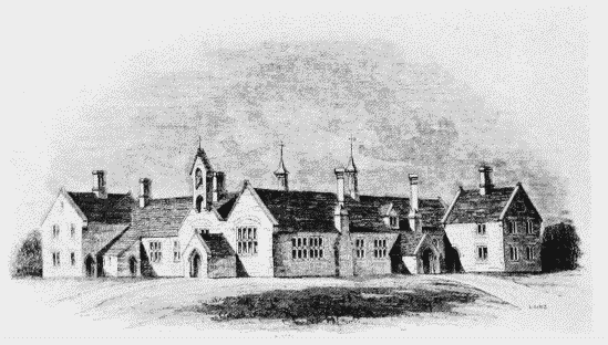
b. St. Luke's Primary School, Elder Road, 1825 (p.181)
St. Luke's Primary School, Elder Road
St. Luke's Primary School, Elder Road, 1825 (p.181)
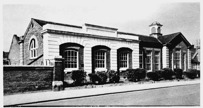
c. St. John's Primary School, Canterbury Crescent, 1853.
St. John's Primary School, Canterbury Crescent.
St. John's Primary School, Canterbury Crescent, 1853.
Benjamin Ferrey, architect (p. 129)