Survey of London: Volume 23, Lambeth: South Bank and Vauxhall. Originally published by London County Council, London, 1951.
This free content was digitised by double rekeying. All rights reserved.
'Water Lambeth', in Survey of London: Volume 23, Lambeth: South Bank and Vauxhall, ed. Howard Roberts, Walter H Godfrey (London, 1951), British History Online https://prod.british-history.ac.uk/survey-london/vol23/pp142-143 [accessed 25 April 2025].
'Water Lambeth', in Survey of London: Volume 23, Lambeth: South Bank and Vauxhall. Edited by Howard Roberts, Walter H Godfrey (London, 1951), British History Online, accessed April 25, 2025, https://prod.british-history.ac.uk/survey-london/vol23/pp142-143.
"Water Lambeth". Survey of London: Volume 23, Lambeth: South Bank and Vauxhall. Ed. Howard Roberts, Walter H Godfrey (London, 1951), British History Online. Web. 25 April 2025. https://prod.british-history.ac.uk/survey-london/vol23/pp142-143.
In this section
CHAPTER 30 - WATER LAMBETH
[See plate 112.]
The old village of Lambeth, often appropriately called “Water Lambeth,” consisted of a few houses near the church and a narrow strip of buildings bordering the river up to Vauxhall. There were houses along Church Street (now Lambeth Road) and Lambeth Butts (now Black Prince Road), but otherwise little building further from the river than the High Street (then known as Back Lane) until the end of the 18th century. In 1815 John Doulton set up in business in High Street, and during the 19th century his firm and that of James Stiff gradually bought up the ground between High Street and Fore Street, with the many little courts and alleys, Brothers Row, Harpur's Walk, King's Head Yard, Calcots Alley, etc., many of them the sites of earlier potteries. (fn. 7)

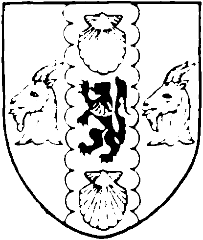
Sir Henry Doulton
The burial ground
The burial ground on the east of High Street was given to the parish
by Archbishop Tenison and consecrated in 1705. It was enlarged in 1815
by the purchase and demolition of adjoining premises in High Street and
Paradise Row. (fn. 3) When it became a public open space in 1884 the gravestones
were placed round the borders, but the ground contains little either to attract
or interest. A stone from the watch-house incised—
“Watch-House”
1825
has been fixed to the boundary wall.
Archbishop Tenison's School
Archbishop Tenison erected a school at the west end of Lambeth churchyard for the education of 12 poor girls of Lambeth, and by his will, dated 1715, he devised the schoolhouse and property in Water Lambeth (see p. 138) to trustees for the benefit of the school. (fn. 6) He also left to the school a portrait of Mrs. Tenison, painted by Mary Beale, a pupil of Peter Lely, in memory of her “constant and prudent Care” for “that Charity House.” (fn. 8) In 1816 the school was rebuilt, and at this time the parochial school for girls was combined with it. (fn. 6) The present building was erected in 1863. The grant of clothing to 12 girls was continued until 1939. The traditional dress is still worn by the older pupils on ceremonial occasions.
Lambeth Ragged Schools
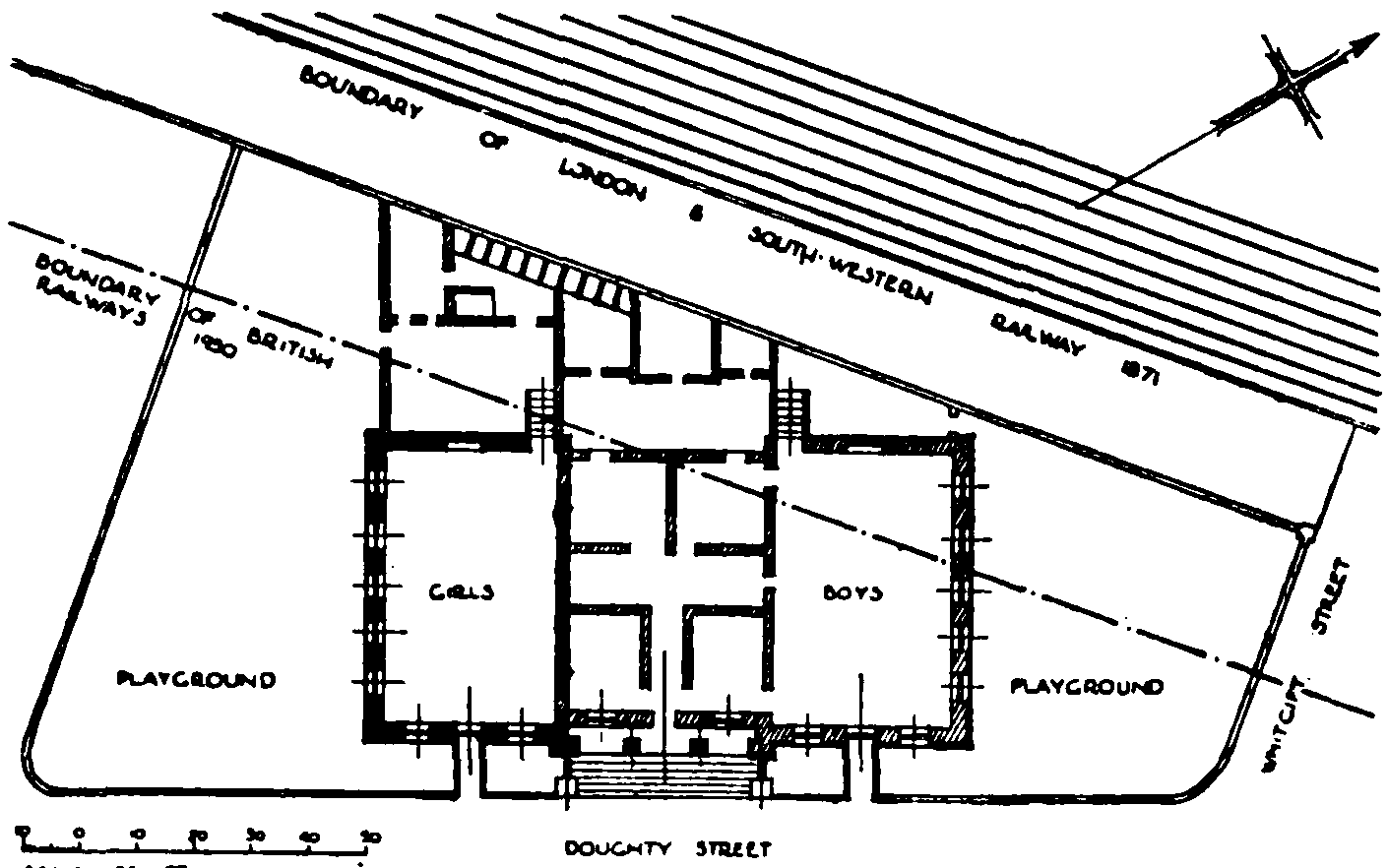
These schools in Newport Street (Plate 116b) were built by Henry Beaufoy in 1851 as a memorial to his wife, who had taken an interest in the school which had previously been held in one of the railway arches. (fn. 4) All but the southern wing was pulled down about 1904 when the railway was widened and the school removed to temporary premises in Auckland Street, Vauxhall (fn. 5) and later to Wandsworth Road.

Plan of Ragged Schools in Newport Street
Lambeth Walk
Lambeth Walk was in the 18th century a country lane known as Three Coney Walk. Lambeth Wells, a place of public entertainment, was opened there towards the end of the 17th century. It flourished for about 50 years, but became disreputable and was closed. The premises were for a time used as a Methodist meeting house. (fn. 1)
The Mill
Rocque's map (1741–45) shows a circular building to the west of Three Coney Walk approximately on the site of Mill Street (now Juxon Street). The rate book for 1773 has an entry after Paradise Row “Thomas Corner for ye Mill,” (fn. 2) but there is no similar entry in subsequent years. Walford's Old and New London gives a view of the mill which is almost identical with that reproduced on Plate 108a except that the latter shows the river on the left (see p. 26n.). Walford states that the mill belonged to the Apothecaries' Company and was used for the grinding of drugs, but nothing has been found in the records of the company to confirm this.