Survey of London: Volume 23, Lambeth: South Bank and Vauxhall. Originally published by London County Council, London, 1951.
This free content was digitised by double rekeying. All rights reserved.
'Plate 29', in Survey of London: Volume 23, Lambeth: South Bank and Vauxhall, ed. Howard Roberts, Walter H Godfrey (London, 1951), British History Online https://prod.british-history.ac.uk/survey-london/vol23/plate-29 [accessed 4 April 2025].
'Plate 29', in Survey of London: Volume 23, Lambeth: South Bank and Vauxhall. Edited by Howard Roberts, Walter H Godfrey (London, 1951), British History Online, accessed April 4, 2025, https://prod.british-history.ac.uk/survey-london/vol23/plate-29.
"Plate 29". Survey of London: Volume 23, Lambeth: South Bank and Vauxhall. Ed. Howard Roberts, Walter H Godfrey (London, 1951), British History Online. Web. 4 April 2025. https://prod.british-history.ac.uk/survey-london/vol23/plate-29.
In this section
(a) SHOT TOWER AND No. 63 BELVENDERE ROAD, 1930
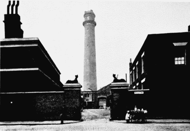
Shot Tower and No. 63 Belvedere Road, 1930
SHOT TOWER AND No. 63 BELVENDERE ROAD, 1930
(b) No. 6 ARCH, IN APPROACH TO HUNGERFORD BRIDGE, 1946
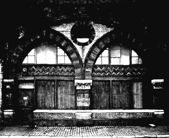
No. 6 arch, in approach road to Hungerford Bridge, 1946
No. 6 ARCH, IN APPROACH TO HUNGERFORD BRIDGE, 1946