Survey of London: Volume 45, Knightsbridge. Originally published by London County Council, London, 2000.
This free content was digitised by double rekeying. All rights reserved.
'Plate 55: Trevor Square area in 1992.', in Survey of London: Volume 45, Knightsbridge, ed. John Greenacombe( London, 2000), British History Online https://prod.british-history.ac.uk/survey-london/vol45/plate-55 [accessed 5 October 2024].
'Plate 55: Trevor Square area in 1992.', in Survey of London: Volume 45, Knightsbridge. Edited by John Greenacombe( London, 2000), British History Online, accessed October 5, 2024, https://prod.british-history.ac.uk/survey-london/vol45/plate-55.
"Plate 55: Trevor Square area in 1992.". Survey of London: Volume 45, Knightsbridge. Ed. John Greenacombe(London, 2000), , British History Online. Web. 5 October 2024. https://prod.british-history.ac.uk/survey-london/vol45/plate-55.
In this section
Trevor Square Area in 1992
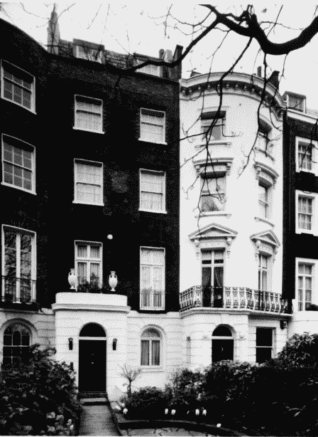
a (left). Nos 237 amd 239 Knightsbridge, part of Trevor Terrace.
Trevor Square area in 1992.
(left). Nos 237 amd 239 Knightsbridge, part of Trevor Terrace.
Built 1811–13 (p.97)
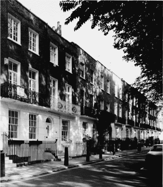
b (below). Trevor Square, east side.
Trevor Square area in 1992.
(below). Trevor Square, east side.
Developed c. 1819–21 (p.99)
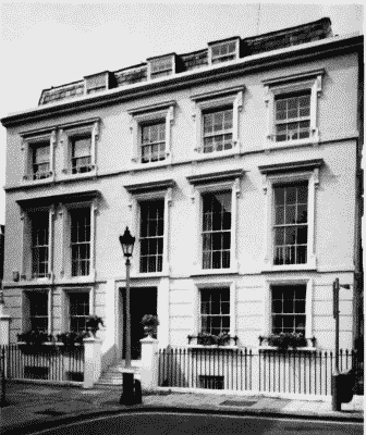
c (left). Trevor Square, west side.
Trevor Square area in 1992.
(left). Trevor Square, west side.
Developed c. 1820 7(p.99)
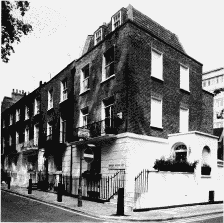
d. No. 38 Trevor Square. Built c. 1824 (p.99)
Trevor Square area in 1992.
No. 38 Trevor Square. Built c. 1824 (p.99)