Survey of London: Volumes 43 and 44, Poplar, Blackwall and Isle of Dogs. Originally published by London County Council, London, 1994.
This free content was digitised by double rekeying. All rights reserved.
'Plate 73: Burrell's Wharf in 1986.', in Survey of London: Volumes 43 and 44, Poplar, Blackwall and Isle of Dogs, ed. Hermione Hobhouse (London, 1994), British History Online https://prod.british-history.ac.uk/survey-london/vols43-4/plate-73 [accessed 16 April 2025].
'Plate 73: Burrell's Wharf in 1986.', in Survey of London: Volumes 43 and 44, Poplar, Blackwall and Isle of Dogs. Edited by Hermione Hobhouse (London, 1994), British History Online, accessed April 16, 2025, https://prod.british-history.ac.uk/survey-london/vols43-4/plate-73.
"Plate 73: Burrell's Wharf in 1986.". Survey of London: Volumes 43 and 44, Poplar, Blackwall and Isle of Dogs. Ed. Hermione Hobhouse (London, 1994), British History Online. Web. 16 April 2025. https://prod.british-history.ac.uk/survey-london/vols43-4/plate-73.
In this section
Burrell's Wharf in 1986 (pp. 474–8)
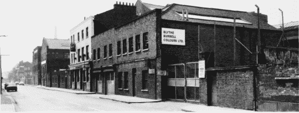
a. Frontage to Westferry Road, looking south
Burrell's Wharf in 1986.
Frontage to Westferry Road, looking south
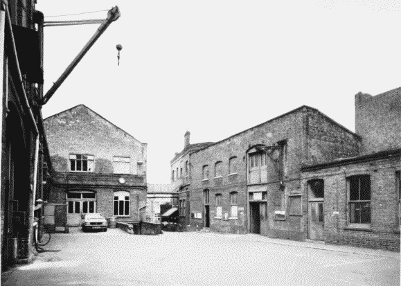
b. Main yard, looking east
Burrell's Wharf in 1986.
Main yard, looking east
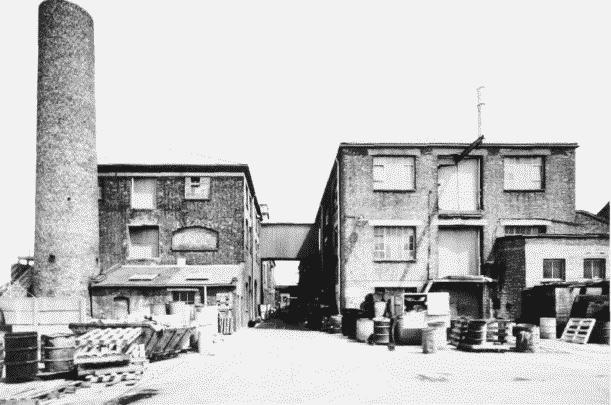
c. The former Venesta factory, looking east (p. 474)
Burrell's Wharf in 1986.
The former Venesta factory, looking east (p. 474)
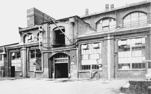
d. The Plate House, south side
Burrell's Wharf in 1986.
The Plate House, south side