Survey of London: Volumes 43 and 44, Poplar, Blackwall and Isle of Dogs. Originally published by London County Council, London, 1994.
This free content was digitised by double rekeying. All rights reserved.
'Plate 69', in Survey of London: Volumes 43 and 44, Poplar, Blackwall and Isle of Dogs, ed. Hermione Hobhouse (London, 1994), British History Online https://prod.british-history.ac.uk/survey-london/vols43-4/plate-69 [accessed 16 April 2025].
'Plate 69', in Survey of London: Volumes 43 and 44, Poplar, Blackwall and Isle of Dogs. Edited by Hermione Hobhouse (London, 1994), British History Online, accessed April 16, 2025, https://prod.british-history.ac.uk/survey-london/vols43-4/plate-69.
"Plate 69". Survey of London: Volumes 43 and 44, Poplar, Blackwall and Isle of Dogs. Ed. Hermione Hobhouse (London, 1994), British History Online. Web. 16 April 2025. https://prod.british-history.ac.uk/survey-london/vols43-4/plate-69.
In this section
a. Millwall seen from Deptford in the 1870s
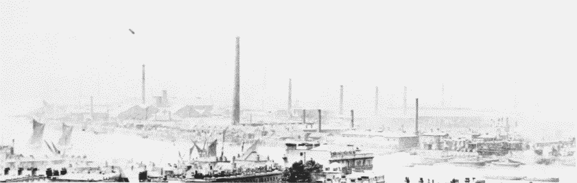
Millwall in the 1870s.
Millwall seen from Deptford in the 1870s
b. Morton's Sufferance Wharf, Millwall, river front in 1986 (pp. 410–11).
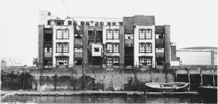
Morton's Sufferance Wharf in 1986.
Morton's Sufferance Wharf, Millwall, river front in 1986 (pp. 410–11).
Demolished
c. The London Steel Terminal, Westferry Road, river front in 1986 (pp. 425–6)
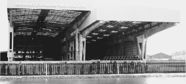
The London Steel Terminal, Westferry Road, in 1986.
The London Steel Terminal, Westferry Road, river front in 1986 (pp. 425–6)