Survey of London: Volumes 43 and 44, Poplar, Blackwall and Isle of Dogs. Originally published by London County Council, London, 1994.
This free content was digitised by double rekeying. All rights reserved.
'Plate 41: Limehouse Hole ', in Survey of London: Volumes 43 and 44, Poplar, Blackwall and Isle of Dogs, ed. Hermione Hobhouse (London, 1994), British History Online https://prod.british-history.ac.uk/survey-london/vols43-4/plate-41 [accessed 16 April 2025].
'Plate 41: Limehouse Hole ', in Survey of London: Volumes 43 and 44, Poplar, Blackwall and Isle of Dogs. Edited by Hermione Hobhouse (London, 1994), British History Online, accessed April 16, 2025, https://prod.british-history.ac.uk/survey-london/vols43-4/plate-41.
"Plate 41: Limehouse Hole ". Survey of London: Volumes 43 and 44, Poplar, Blackwall and Isle of Dogs. Ed. Hermione Hobhouse (London, 1994), British History Online. Web. 16 April 2025. https://prod.british-history.ac.uk/survey-london/vols43-4/plate-41.
In this section
Limehouse Hole
a. The Breach Dockyard and the Breach in c1753 (pp. 394–5)

The Breach Dockyard and the Breach in c1753.
The Breach Dockyard and the Breach in c1753 (pp. 394–5)
b. (right). The Gut House in c1785 (p. 394).
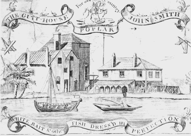
The Gut House in c1785.
(right). The Gut House in c1785 (p. 394).
Demolished
c. Curling & Young's Shipyard in c1825 (pp. 391–2)
Curling & Young's Shipyard in c1825.
Curling & Young's Shipyard in c1825 (pp. 391–2)