Survey of London: Volumes 43 and 44, Poplar, Blackwall and Isle of Dogs. Originally published by London County Council, London, 1994.
This free content was digitised by double rekeying. All rights reserved.
'Plate 158', in Survey of London: Volumes 43 and 44, Poplar, Blackwall and Isle of Dogs, ed. Hermione Hobhouse (London, 1994), British History Online https://prod.british-history.ac.uk/survey-london/vols43-4/plate-158 [accessed 16 April 2025].
'Plate 158', in Survey of London: Volumes 43 and 44, Poplar, Blackwall and Isle of Dogs. Edited by Hermione Hobhouse (London, 1994), British History Online, accessed April 16, 2025, https://prod.british-history.ac.uk/survey-london/vols43-4/plate-158.
"Plate 158". Survey of London: Volumes 43 and 44, Poplar, Blackwall and Isle of Dogs. Ed. Hermione Hobhouse (London, 1994), British History Online. Web. 16 April 2025. https://prod.british-history.ac.uk/survey-london/vols43-4/plate-158.
In this section
a. Glengall Bridge development, looking west in 1994.
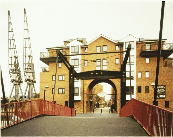
Glengall Bridge in 1994.
Glengall Bridge development, looking west in 1994.
Richard Seifert & Partners, architects, for Glengall Bridge Ltd (p. 716)
b. Clippers Quay from the air in 1989.
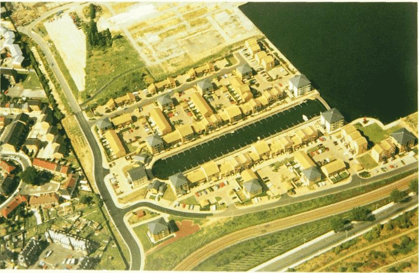
Clippers Quay in 1989.
Clippers Quay from the air in 1989.
Robert Martin Associates, architects, Roger Malcolm Ltd, developers, 1984–8 (p. 698)