Survey of London: Volumes 43 and 44, Poplar, Blackwall and Isle of Dogs. Originally published by London County Council, London, 1994.
This free content was digitised by double rekeying. All rights reserved.
'Plate 146', in Survey of London: Volumes 43 and 44, Poplar, Blackwall and Isle of Dogs, ed. Hermione Hobhouse (London, 1994), British History Online https://prod.british-history.ac.uk/survey-london/vols43-4/plate-146 [accessed 16 April 2025].
'Plate 146', in Survey of London: Volumes 43 and 44, Poplar, Blackwall and Isle of Dogs. Edited by Hermione Hobhouse (London, 1994), British History Online, accessed April 16, 2025, https://prod.british-history.ac.uk/survey-london/vols43-4/plate-146.
"Plate 146". Survey of London: Volumes 43 and 44, Poplar, Blackwall and Isle of Dogs. Ed. Hermione Hobhouse (London, 1994), British History Online. Web. 16 April 2025. https://prod.british-history.ac.uk/survey-london/vols43-4/plate-146.
In this section
a. Blackwall Yard from the river in 1784
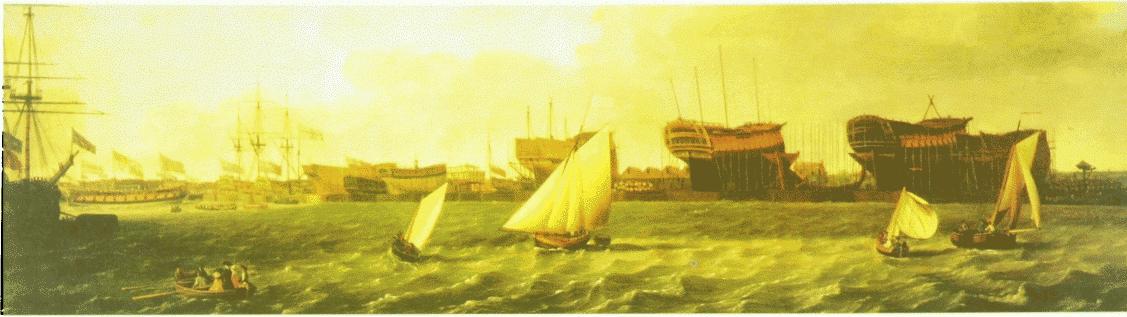
Blackwall Yard in 1784.
Blackwall Yard from the river in 1784
b. Limehouse Hole area looking south-east in 1768, towards Batson's Yard and the seventeenth-century mansion erected by Edward Gray (p. 391)
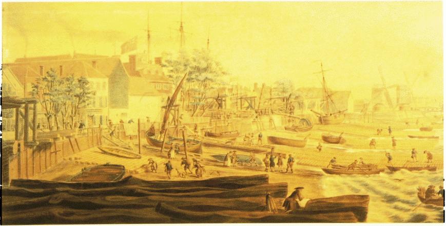
Limehouse Hole
Limehouse Hole area looking south-east in 1768, towards Batson's Yard and the seventeenth-century mansion erected by Edward Gray (p. 391)