Survey of London: Volumes 33 and 34, St Anne Soho. Originally published by London County Council, London, 1966.
This free content was digitised by double rekeying. All rights reserved.
'Plate 67: Macclesfield Street and King Sreet', in Survey of London: Volumes 33 and 34, St Anne Soho, ed. F H W Sheppard (London, 1966), British History Online https://prod.british-history.ac.uk/survey-london/vols33-4/plate-67 [accessed 22 April 2025].
'Plate 67: Macclesfield Street and King Sreet', in Survey of London: Volumes 33 and 34, St Anne Soho. Edited by F H W Sheppard (London, 1966), British History Online, accessed April 22, 2025, https://prod.british-history.ac.uk/survey-london/vols33-4/plate-67.
"Plate 67: Macclesfield Street and King Sreet". Survey of London: Volumes 33 and 34, St Anne Soho. Ed. F H W Sheppard (London, 1966), British History Online. Web. 22 April 2025. https://prod.british-history.ac.uk/survey-london/vols33-4/plate-67.
In this section
a. Nos. 9 and 10 Macclesfield Street, 1729, in 1874 (p. 414).
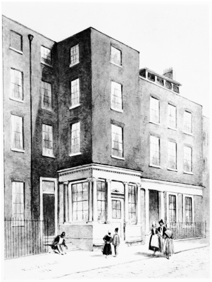
Nos. 9 and 10 Macclesfield Street, 1729, in 1874 (p. 414).
Demolished
b. No. 9 Macclesfield Street, shop front in 1858 (p. 414).

No. 9 Macclesfield Street, shop front in 1858 (p. 414).
Demolished
c. King Street, south side, and (right) No. 9 Macclesfield Street in 1885 (p. 412).
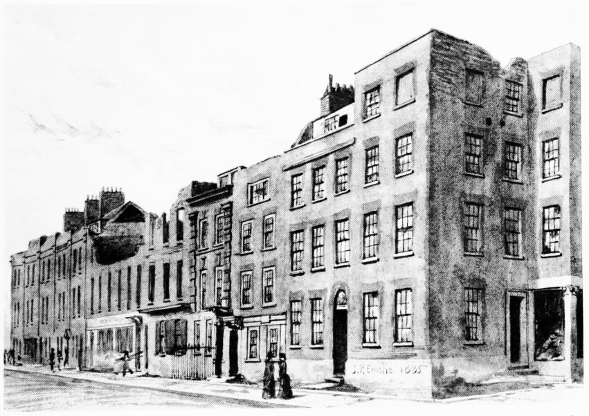
King Street, south side, and (right) No. 9 Macclesfield Street in 1885 (p. 412).
Demolished