Survey of London: Volumes 33 and 34, St Anne Soho. Originally published by London County Council, London, 1966.
This free content was digitised by double rekeying. All rights reserved.
'Plate 120: Frith Street', in Survey of London: Volumes 33 and 34, St Anne Soho, ed. F H W Sheppard (London, 1966), British History Online https://prod.british-history.ac.uk/survey-london/vols33-4/plate-120 [accessed 8 May 2025].
'Plate 120: Frith Street', in Survey of London: Volumes 33 and 34, St Anne Soho. Edited by F H W Sheppard (London, 1966), British History Online, accessed May 8, 2025, https://prod.british-history.ac.uk/survey-london/vols33-4/plate-120.
"Plate 120: Frith Street". Survey of London: Volumes 33 and 34, St Anne Soho. Ed. F H W Sheppard (London, 1966), British History Online. Web. 8 May 2025. https://prod.british-history.ac.uk/survey-london/vols33-4/plate-120.
In this section
Frith Street
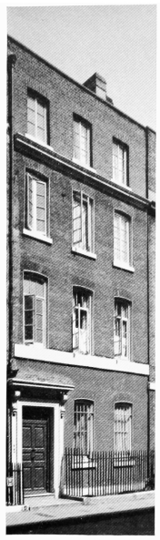
a. No. 5, c. 1731, in 1964 (p. 153)
Frith Street
No. 5, c. 1731, in 1964 (p. 153)
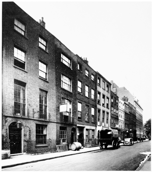
b. Nos. 58–66 (consec.) in 1943 (pp. 164–6). Nos. 65–66 demolished
Frith Street
Nos. 58–66 (consec.) in 1943 (pp. 164–6). Nos. 65–66 demolished
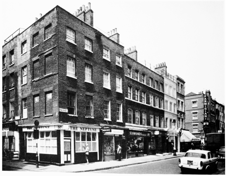
c. Nos. 37 and 38, 1781, and Nos. 39–41, 1743, in 1964 (pp. 161–2)
Frith Street
Nos. 37 and 38, 1781, and Nos. 39–41, 1743, in 1964 (pp. 161–2)