Survey of London: Volumes 33 and 34, St Anne Soho. Originally published by London County Council, London, 1966.
This free content was digitised by double rekeying. All rights reserved.
'Plate 116: Meard Street', in Survey of London: Volumes 33 and 34, St Anne Soho, ed. F H W Sheppard (London, 1966), British History Online https://prod.british-history.ac.uk/survey-london/vols33-4/plate-116 [accessed 22 April 2025].
'Plate 116: Meard Street', in Survey of London: Volumes 33 and 34, St Anne Soho. Edited by F H W Sheppard (London, 1966), British History Online, accessed April 22, 2025, https://prod.british-history.ac.uk/survey-london/vols33-4/plate-116.
"Plate 116: Meard Street". Survey of London: Volumes 33 and 34, St Anne Soho. Ed. F H W Sheppard (London, 1966), British History Online. Web. 22 April 2025. https://prod.british-history.ac.uk/survey-london/vols33-4/plate-116.
In this section
Meard Street (p. 238)
a. View looking west in 1964
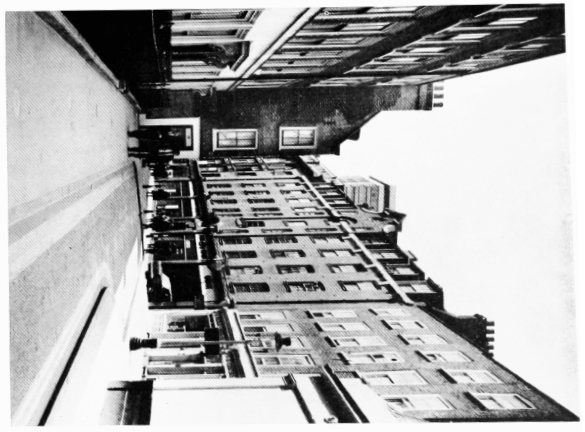
Meard Street
View looking west in 1964
b. Nos. 1–5 (odd), 1732–3, in 1912
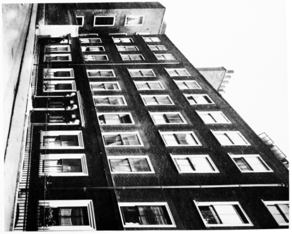
Meard Street
Nos. 1–5 (odd), 1732–3, in 1912
c. Nos. 7–11 (odd), 1732–3, and Nos. 13–17, 1720–2, in 1941
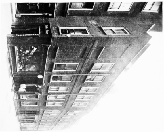
Meard Street
Nos. 7–11 (odd), 1732–3, and Nos. 13–17, 1720–2, in 1941
d. Nos. 13–21 (odd), 1720–2, in 1941
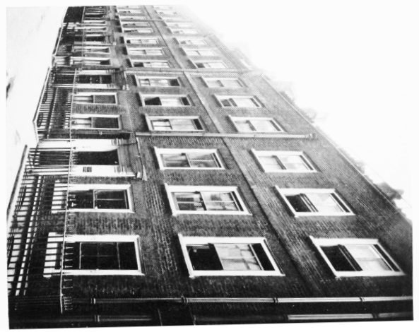
Meard Street
Nos. 13–21 (odd), 1720–2, in 1941