Survey of London: Volumes 29 and 30, St James Westminster, Part 1. Originally published by London County Council, London, 1960.
This free content was digitised by double rekeying. All rights reserved.
'Plate 250: Lord Montfort's proposed house, St. James's Place, west elevation and plan', in Survey of London: Volumes 29 and 30, St James Westminster, Part 1, ed. F H W Sheppard (London, 1960), British History Online https://prod.british-history.ac.uk/survey-london/vols29-30/pt1/plate-250 [accessed 16 April 2025].
'Plate 250: Lord Montfort's proposed house, St. James's Place, west elevation and plan', in Survey of London: Volumes 29 and 30, St James Westminster, Part 1. Edited by F H W Sheppard (London, 1960), British History Online, accessed April 16, 2025, https://prod.british-history.ac.uk/survey-london/vols29-30/pt1/plate-250.
"Plate 250: Lord Montfort's proposed house, St. James's Place, west elevation and plan". Survey of London: Volumes 29 and 30, St James Westminster, Part 1. Ed. F H W Sheppard (London, 1960), British History Online. Web. 16 April 2025. https://prod.british-history.ac.uk/survey-london/vols29-30/pt1/plate-250.
Lord Montfort's proposed house, St. James's Place: west elevation and plan by John Vardy, 1755 (p. 521)
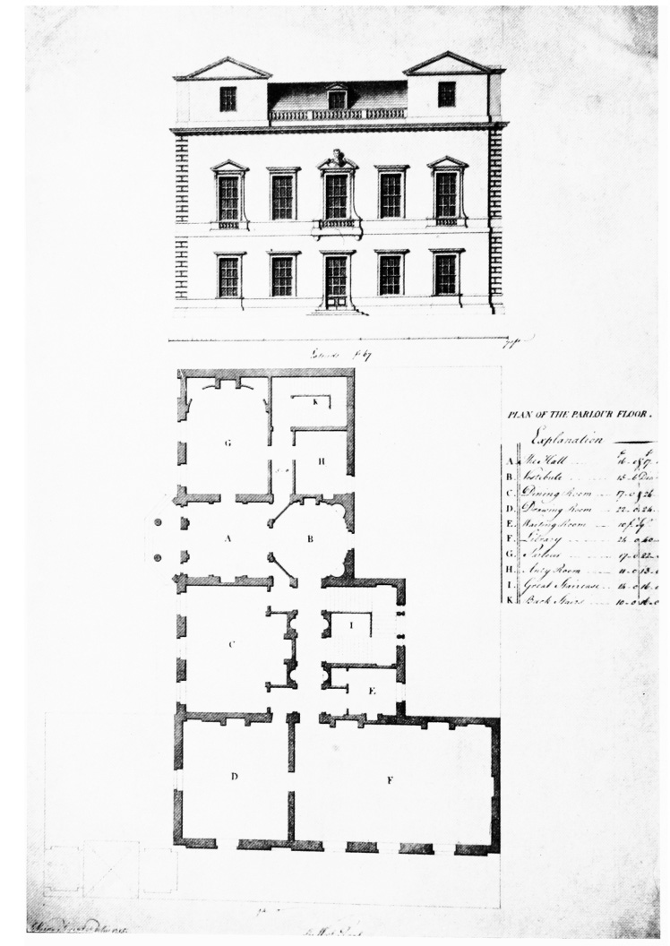
Lord Montfort's proposed house, St. James's Place, west elevation and plan.