Survey of London: Volume 8, Shoreditch. Originally published by London County Council, London, 1922.
This free content was digitised by double rekeying. All rights reserved.
'Plate 47: Geffrye Almshouses, views, plans and elevations', in Survey of London: Volume 8, Shoreditch, ed. James Bird (London, 1922), British History Online https://prod.british-history.ac.uk/survey-london/vol8/plate-47 [accessed 13 April 2025].
'Plate 47: Geffrye Almshouses, views, plans and elevations', in Survey of London: Volume 8, Shoreditch. Edited by James Bird (London, 1922), British History Online, accessed April 13, 2025, https://prod.british-history.ac.uk/survey-london/vol8/plate-47.
"Plate 47: Geffrye Almshouses, views, plans and elevations". Survey of London: Volume 8, Shoreditch. Ed. James Bird (London, 1922), British History Online. Web. 13 April 2025. https://prod.british-history.ac.uk/survey-london/vol8/plate-47.
Sir Robert Geffrye's Almshouses
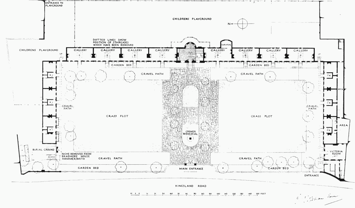
Ground-floor plan, Kingsland Road Shoreditch. At present used as a museum