Survey of London: Volume 6, Hammersmith. Originally published by London County Council, London, 1915.
This free content was digitised by double rekeying. All rights reserved.
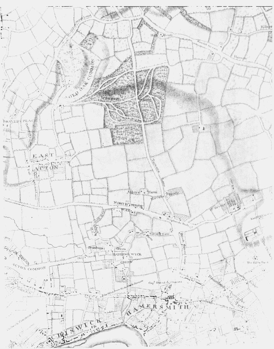
'Plate 1: Hammersmith from Rocque's Map (1745)', in Survey of London: Volume 6, Hammersmith, ed. James Bird, Philip Norman (London, 1915), British History Online https://prod.british-history.ac.uk/survey-london/vol6/plate-1 [accessed 4 May 2025].
'Plate 1: Hammersmith from Rocque's Map (1745)', in Survey of London: Volume 6, Hammersmith. Edited by James Bird, Philip Norman (London, 1915), British History Online, accessed May 4, 2025, https://prod.british-history.ac.uk/survey-london/vol6/plate-1.
"Plate 1: Hammersmith from Rocque's Map (1745)". Survey of London: Volume 6, Hammersmith. Ed. James Bird, Philip Norman (London, 1915), British History Online. Web. 4 May 2025. https://prod.british-history.ac.uk/survey-london/vol6/plate-1.
Hammersmith from Rocque's Map (1745).
Hammersmith from Rocque's Map (1745).