Survey of London: Volume 5, St Giles-in-The-Fields, Pt II. Originally published by London County Council, London, 1914.
This free content was digitised by double rekeying. All rights reserved.
'Plate 43: Church of St. Giles-in-the-Fields, ground plan', in Survey of London: Volume 5, St Giles-in-The-Fields, Pt II, ed. W Edward Riley, Laurence Gomme (London, 1914), British History Online https://prod.british-history.ac.uk/survey-london/vol5/pt2/plate-43 [accessed 15 April 2025].
'Plate 43: Church of St. Giles-in-the-Fields, ground plan', in Survey of London: Volume 5, St Giles-in-The-Fields, Pt II. Edited by W Edward Riley, Laurence Gomme (London, 1914), British History Online, accessed April 15, 2025, https://prod.british-history.ac.uk/survey-london/vol5/pt2/plate-43.
"Plate 43: Church of St. Giles-in-the-Fields, ground plan". Survey of London: Volume 5, St Giles-in-The-Fields, Pt II. Ed. W Edward Riley, Laurence Gomme (London, 1914), British History Online. Web. 15 April 2025. https://prod.british-history.ac.uk/survey-london/vol5/pt2/plate-43.
PARISH CHURCH OF ST GILES-IN-THE-FIELDS.
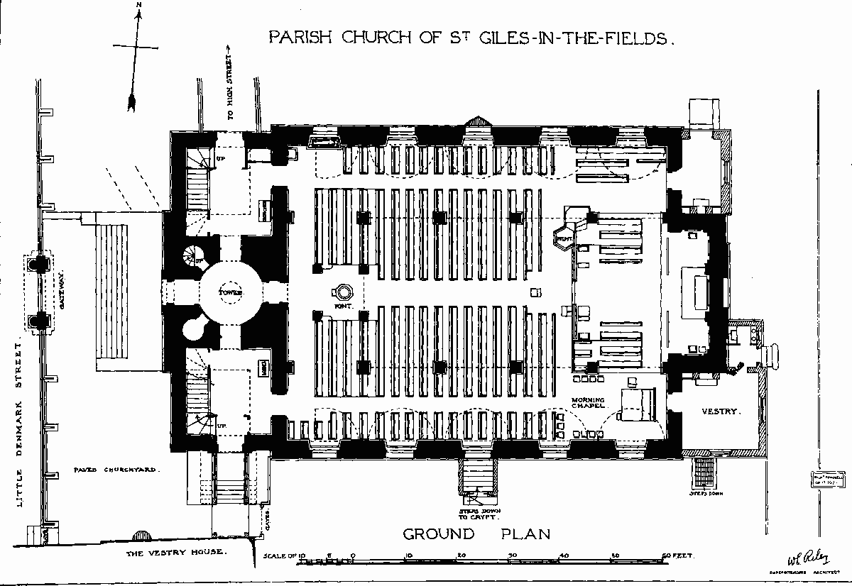
Church of St. Giles-in-the-Fields, Ground Plan