Survey of London: Volume 45, Knightsbridge. Originally published by London County Council, London, 2000.
This free content was digitised by double rekeying. All rights reserved.
'Plate 5', in Survey of London: Volume 45, Knightsbridge, ed. John Greenacombe (London, 2000), British History Online https://prod.british-history.ac.uk/survey-london/vol45/plate-5 [accessed 9 May 2025].
'Plate 5', in Survey of London: Volume 45, Knightsbridge. Edited by John Greenacombe (London, 2000), British History Online, accessed May 9, 2025, https://prod.british-history.ac.uk/survey-london/vol45/plate-5.
"Plate 5". Survey of London: Volume 45, Knightsbridge. Ed. John Greenacombe (London, 2000), British History Online. Web. 9 May 2025. https://prod.british-history.ac.uk/survey-london/vol45/plate-5.
In this section
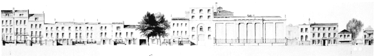
a. High Row: Cannon Brew house (centre), Fox alchouse and culverls for the Westbourne (right)

High Row: Cannon Brew house (centre), Fox alchouse and culverls for the Westbourne (right)
b. Park Side: White Harl (left).
Park Side: White Harl (left).
Trinity chapel (with cupola)
c (below). Knightsbridge area in 1813
(below). Knightsbridge area in 1813