Survey of London: Volume 45, Knightsbridge. Originally published by London County Council, London, 2000.
This free content was digitised by double rekeying. All rights reserved.
'Plate 23', in Survey of London: Volume 45, Knightsbridge, ed. John Greenacombe (London, 2000), British History Online https://prod.british-history.ac.uk/survey-london/vol45/plate-23 [accessed 9 May 2025].
'Plate 23', in Survey of London: Volume 45, Knightsbridge. Edited by John Greenacombe (London, 2000), British History Online, accessed May 9, 2025, https://prod.british-history.ac.uk/survey-london/vol45/plate-23.
"Plate 23". Survey of London: Volume 45, Knightsbridge. Ed. John Greenacombe (London, 2000), British History Online. Web. 9 May 2025. https://prod.british-history.ac.uk/survey-london/vol45/plate-23.
In this section
Albert Gate. Thomas Cubitt, developer, 1841 55 (p. 46)
a. Perspective view looking north, c. 1846
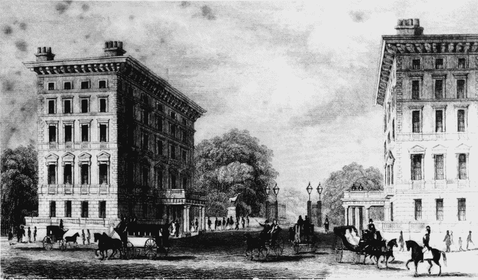
Nos 1 and 2 Albert Gate, c.1846.
Perspective view looking north, c. 1846
b. Hyde Park House in 1942.
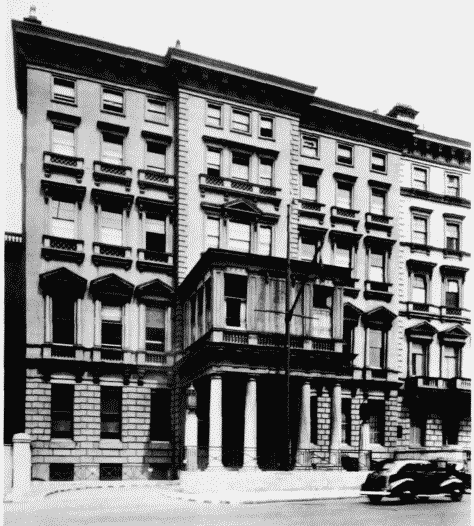
Hyde Park House, No. 60 Knightsbridge, in 1942.
Hyde Park House, No. 60 Knightsbridge, in 1942.
Demolished
c. No. 1 and (right) No. 58 Knightsbridge in 1946
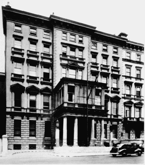
No. 1 Albert Gate and No. 58 Knightsbridge in 1946.
No. 1 and (right) No. 58 Knightsbridge in 1946