Survey of London: Volume 45, Knightsbridge. Originally published by London County Council, London, 2000.
This free content was digitised by double rekeying. All rights reserved.
'Plate 16: Knightsbridge, south side in 1996.', in Survey of London: Volume 45, Knightsbridge, ed. John Greenacombe (London, 2000), British History Online https://prod.british-history.ac.uk/survey-london/vol45/plate-16 [accessed 15 April 2025].
'Plate 16: Knightsbridge, south side in 1996.', in Survey of London: Volume 45, Knightsbridge. Edited by John Greenacombe (London, 2000), British History Online, accessed April 15, 2025, https://prod.british-history.ac.uk/survey-london/vol45/plate-16.
"Plate 16: Knightsbridge, south side in 1996.". Survey of London: Volume 45, Knightsbridge. Ed. John Greenacombe (London, 2000), British History Online. Web. 15 April 2025. https://prod.british-history.ac.uk/survey-london/vol45/plate-16.
In this section
Post-War Knightsbridge
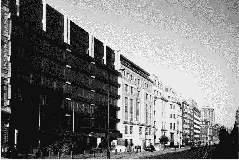
a (top). South side, looking west from No. 21 in 1996
Knightsbridge, south side in 1996.
(top). South side, looking west from No. 21 in 1996
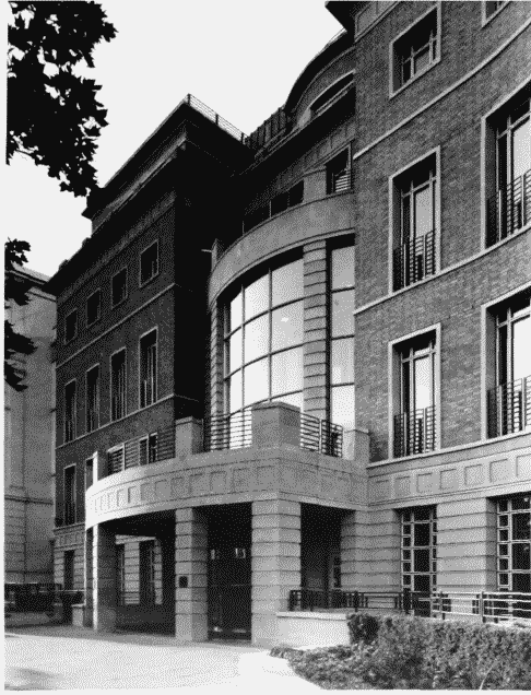
b. No. 1. Fitzroy Robinson Partnership, architects, 1991 (p. 26)
Knightsbridge, south side in 1996.
No. 1. Fitzroy Robinson Partnership, architects, 1991 (p. 26)
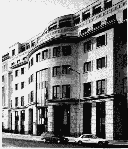
c (above). No. 27. Hunter and Partners, architects, 1993–5 (p. 27)
Knightsbridge, south side in 1996.
(above). No. 27. Hunter and Partners, architects, 1993–5 (p. 27)