Survey of London: Volume 42, Kensington Square To Earl's Court. Originally published by London County Council, London, 1986.
This free content was digitised by double rekeying. All rights reserved.
'Plate 55: Vallotton estate and district in c. 1905', in Survey of London: Volume 42, Kensington Square To Earl's Court, ed. Hermione Hobhouse (London, 1986), British History Online https://prod.british-history.ac.uk/survey-london/vol42/plate-55 [accessed 15 April 2025].
'Plate 55: Vallotton estate and district in c. 1905', in Survey of London: Volume 42, Kensington Square To Earl's Court. Edited by Hermione Hobhouse (London, 1986), British History Online, accessed April 15, 2025, https://prod.british-history.ac.uk/survey-london/vol42/plate-55.
"Plate 55: Vallotton estate and district in c. 1905". Survey of London: Volume 42, Kensington Square To Earl's Court. Ed. Hermione Hobhouse (London, 1986), British History Online. Web. 15 April 2025. https://prod.british-history.ac.uk/survey-london/vol42/plate-55.
In this section
Vallotton Estate and District in c. 1905
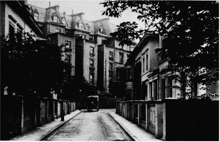
a. Cambridge Place looking north-east with Prince of Wales Terrace behind. William and Henry Hoof, builders, 1850-3 (p. 140)
Vallotton estate and district in c. 1905.
Cambridge Place looking north-east with Prince of Wales Terrace behind. William and Henry Hoof, builders, 1850-3 (p. 140)
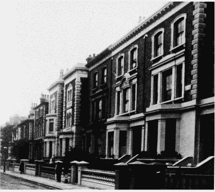
b. Stanford Road, west side looking south.
Vallotton estate and district in c. 1905.
Stanford Road, west side looking south.
Nos. 2-6 (evan, right to left) nearest camera (p. 147)
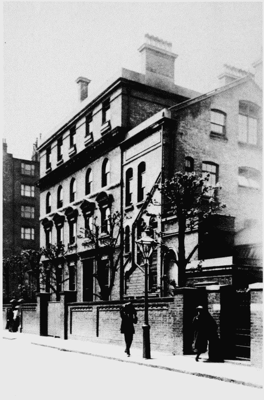
c. Lytham House, St. Alban's Grove, in occupation of Kensington High School for Girls (p. 143)
Vallotton estate and district in c. 1905.
Lytham House, St. Alban's Grove, in occupation of Kensington High School for Girls (p. 143)