Survey of London: Volume 42, Kensington Square To Earl's Court. Originally published by London County Council, London, 1986.
This free content was digitised by double rekeying. All rights reserved.
'Plate 31: Kensington High Street', in Survey of London: Volume 42, Kensington Square To Earl's Court, ed. Hermione Hobhouse (London, 1986), British History Online https://prod.british-history.ac.uk/survey-london/vol42/plate-31 [accessed 15 April 2025].
'Plate 31: Kensington High Street', in Survey of London: Volume 42, Kensington Square To Earl's Court. Edited by Hermione Hobhouse (London, 1986), British History Online, accessed April 15, 2025, https://prod.british-history.ac.uk/survey-london/vol42/plate-31.
"Plate 31: Kensington High Street". Survey of London: Volume 42, Kensington Square To Earl's Court. Ed. Hermione Hobhouse (London, 1986), British History Online. Web. 15 April 2025. https://prod.british-history.ac.uk/survey-london/vol42/plate-31.
In this section
Kensington High Street, SouthSide (pp. 80-1)
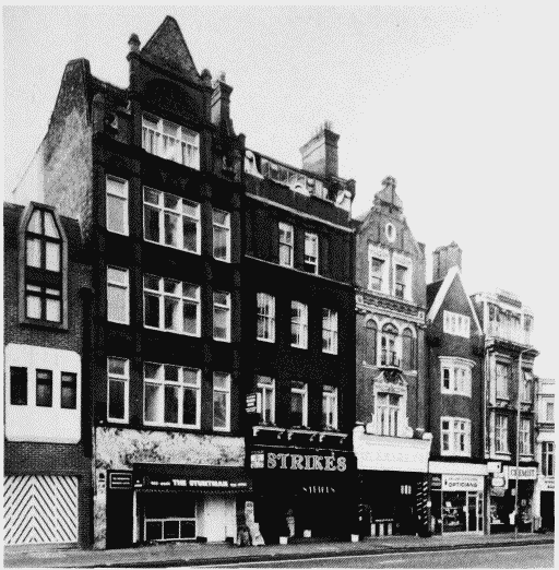
a. Nos. 7-15 (odd, left to right) in 1983
Kensington High Street
Nos. 7-15 (odd, left to right) in 1983
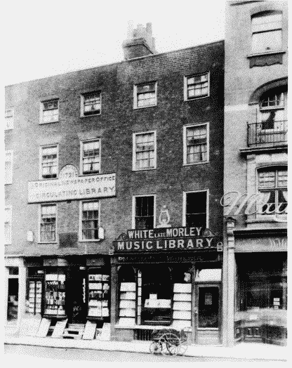
b. Nos. 25 (left) and 27 in c. 1895 No. 27 demolished.
Kensington High Street
Nos. 25 (left) and 27 in c. 1895 No. 27 demolished.
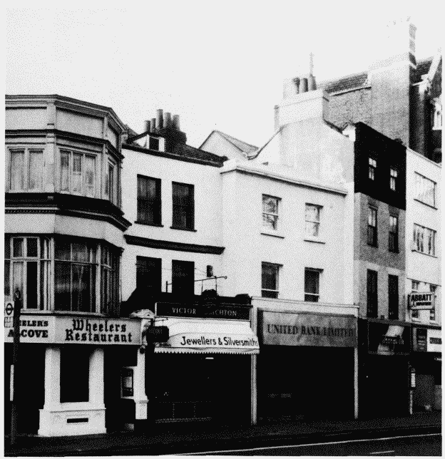
c. Nos. 17-25 (odd, left to right) in 1983
Kensington High Street
Nos. 17-25 (odd, left to right) in 1983
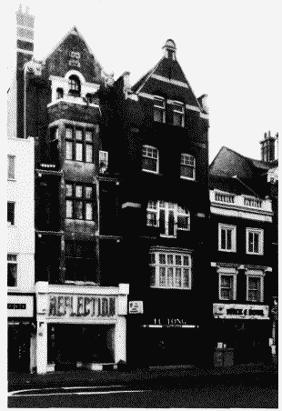
d. Nos. 27-31 (odd, left to right) in 1983
Kensington High Street
Nos. 27-31 (odd, left to right) in 1983