Survey of London: Volume 42, Kensington Square To Earl's Court. Originally published by London County Council, London, 1986.
This free content was digitised by double rekeying. All rights reserved.
'Plate 111: Edwardes estate.', in Survey of London: Volume 42, Kensington Square To Earl's Court, ed. Hermione Hobhouse (London, 1986), British History Online https://prod.british-history.ac.uk/survey-london/vol42/plate-111 [accessed 16 April 2025].
'Plate 111: Edwardes estate.', in Survey of London: Volume 42, Kensington Square To Earl's Court. Edited by Hermione Hobhouse (London, 1986), British History Online, accessed April 16, 2025, https://prod.british-history.ac.uk/survey-london/vol42/plate-111.
"Plate 111: Edwardes estate.". Survey of London: Volume 42, Kensington Square To Earl's Court. Ed. Hermione Hobhouse (London, 1986), British History Online. Web. 16 April 2025. https://prod.british-history.ac.uk/survey-london/vol42/plate-111.
In this section
The Edwardes Estate
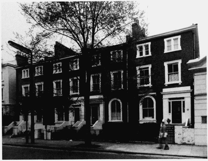
a (right). Nos. 2-8 (even) Pembroke Road in 1975.
Edwardes estate.
Nos. 2-8 (even) Pembroke Road in 1975.
Barnabas Jennings and William Stephenson, builders, 1853-4 (p. 281)
b (below). North side of Pembroke Square, 1823-30, looking eastwards in 1941 (pp. 268-71)
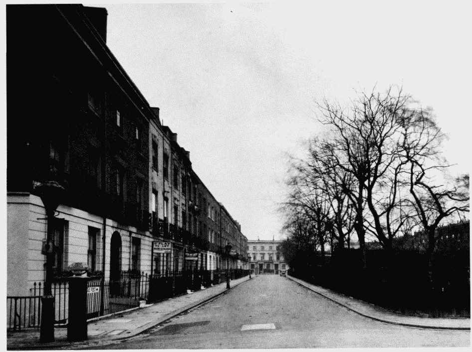
Edwardes estate.
North side of Pembroke Square, 1823-30, looking eastwards in 1941 (pp. 268-71)