Survey of London: Volume 41, Brompton. Originally published by London County Council, London, 1983.
This free content was digitised by double rekeying. All rights reserved.
'Plate 71: Little Chelsea and West Brompton', in Survey of London: Volume 41, Brompton, ed. F H W Sheppard (London, 1983), British History Online https://prod.british-history.ac.uk/survey-london/vol41/plate-71 [accessed 16 April 2025].
'Plate 71: Little Chelsea and West Brompton', in Survey of London: Volume 41, Brompton. Edited by F H W Sheppard (London, 1983), British History Online, accessed April 16, 2025, https://prod.british-history.ac.uk/survey-london/vol41/plate-71.
"Plate 71: Little Chelsea and West Brompton". Survey of London: Volume 41, Brompton. Ed. F H W Sheppard (London, 1983), British History Online. Web. 16 April 2025. https://prod.british-history.ac.uk/survey-london/vol41/plate-71.
In this section
Little Chelsea and West Brompton.
Extracts from Edmund Daw's map of Kensington, 1879
a. From Thurloe Square to Drayton Gardens (then Thistle Grove)
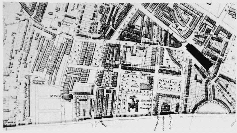
Little Chelsea and West Brompton, extracts from Edmund Daw's map of Kensington, 1879
From Thurloe Square to Drayton Gardens (then Thistle Grove)
b. From Roland Gardens to Brompton Cemetery
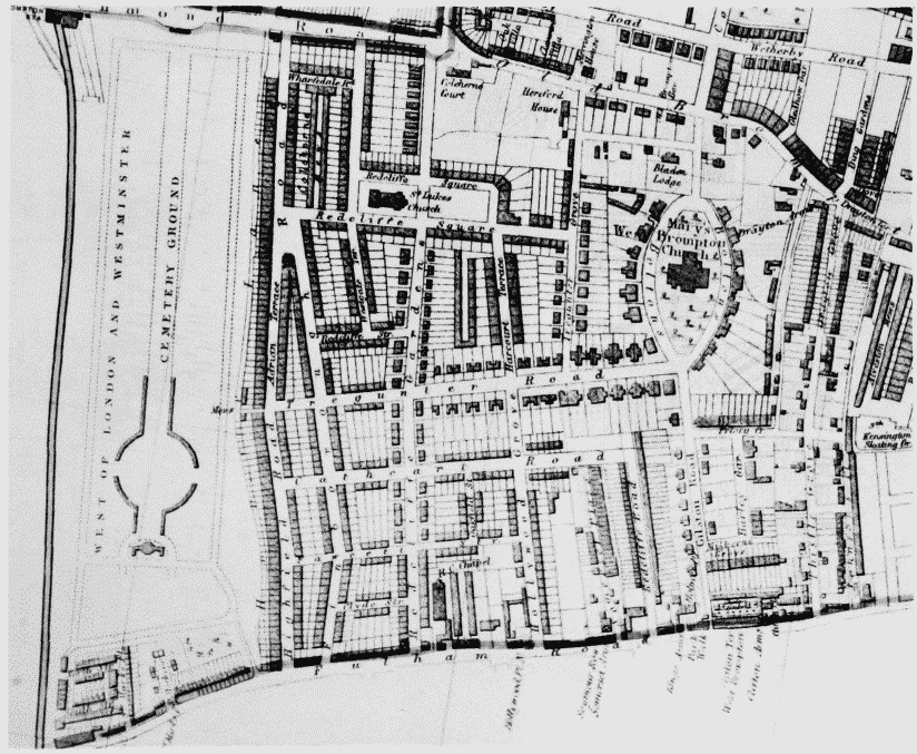
Little Chelsea and West Brompton, extracts from Edmund Daw's map of Kensington, 1879
From Roland Gardens to Brompton Cemetery