Survey of London: Volume 40, the Grosvenor Estate in Mayfair, Part 2 (The Buildings). Originally published by London County Council, London, 1980.
This free content was digitised by double rekeying. All rights reserved.
'Plate 45: Oxford Street looking east in c. 1883', in Survey of London: Volume 40, the Grosvenor Estate in Mayfair, Part 2 (The Buildings), ed. F H W Sheppard (London, 1980), British History Online https://prod.british-history.ac.uk/survey-london/vol40/pt2/plate-45 [accessed 16 April 2025].
'Plate 45: Oxford Street looking east in c. 1883', in Survey of London: Volume 40, the Grosvenor Estate in Mayfair, Part 2 (The Buildings). Edited by F H W Sheppard (London, 1980), British History Online, accessed April 16, 2025, https://prod.british-history.ac.uk/survey-london/vol40/pt2/plate-45.
"Plate 45: Oxford Street looking east in c. 1883". Survey of London: Volume 40, the Grosvenor Estate in Mayfair, Part 2 (The Buildings). Ed. F H W Sheppard (London, 1980), British History Online. Web. 16 April 2025. https://prod.british-history.ac.uk/survey-london/vol40/pt2/plate-45.
In this section
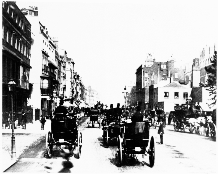
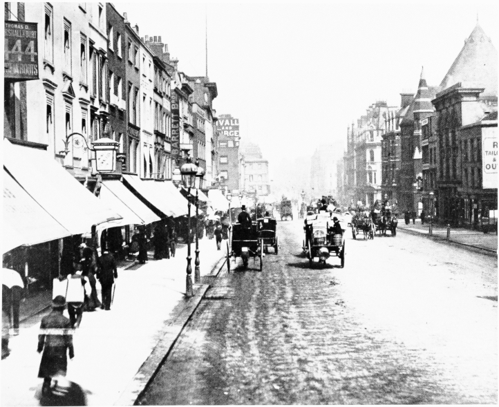
Oxford Street : looking east in c. 1883
a. View from opposite Marble Arch.

Oxford Street looking east in c. 1883.
View from opposite Marble Arch.
Outbuildings of Somerset House and Camelford House on right with Hereford Gardens behind. Demolished
b. View from opposite North Audley Street.

Oxford Street looking east in c. 1883.
View from opposite North Audley Street.
Premises of Thrupp and Maberly, coach-builders, second from right with St. Saviour's Church behind. Site of Selfridges on left. Mostly demolished