Survey of London: Volume 37, Northern Kensington. Originally published by London County Council, London, 1973.
This free content was digitised by double rekeying. All rights reserved.
'Plate 71: The Norland estate', in Survey of London: Volume 37, Northern Kensington, ed. F H W Sheppard (London, 1973), British History Online https://prod.british-history.ac.uk/survey-london/vol37/plate-71 [accessed 16 April 2025].
'Plate 71: The Norland estate', in Survey of London: Volume 37, Northern Kensington. Edited by F H W Sheppard (London, 1973), British History Online, accessed April 16, 2025, https://prod.british-history.ac.uk/survey-london/vol37/plate-71.
"Plate 71: The Norland estate". Survey of London: Volume 37, Northern Kensington. Ed. F H W Sheppard (London, 1973), British History Online. Web. 16 April 2025. https://prod.british-history.ac.uk/survey-london/vol37/plate-71.
In this section
THE NORLAND ESTATE
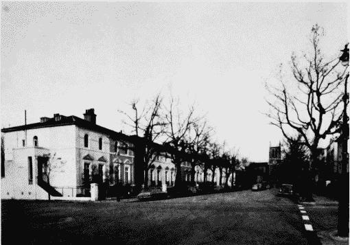
a. Addison Avenue looking north, c. 1841–50 (p. 283)
Addison Avenue in 1963
Addison Avenue looking north, c. 1841–50 (p. 283)
b. Norland Square, north side, and Queensdale Road, 1842 onwards (p. 283)
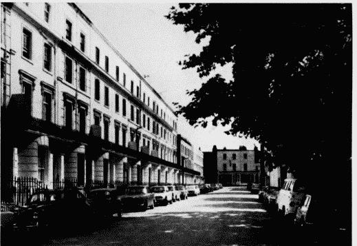
Norland Square and Queensdale Road in 1970
Norland Square, north side, and Queensdale Road, 1842 onwards (p. 283)
c. Nos. 14–24 and 42–46 consec.
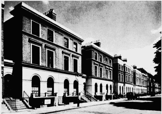
Nos. 14–24 (consec.) St. James's Gardens in 1954
Nos. 14–24 and 42–46 consec.
St. James's Gardens, 1850–1. J. Barnett, architect (p. 288)
d. Nos. 14–24 and 42–46 consec. St. James's Gardens, 1850–1.
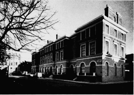
Nos. 42–46 (consec.) St. James's Gardens in 1970
Nos. 14–24 and 42–46 consec.
St. James's Gardens, 1850–1. J. Barnett, architect (p. 288)