Survey of London: Volume 37, Northern Kensington. Originally published by London County Council, London, 1973.
This free content was digitised by double rekeying. All rights reserved.
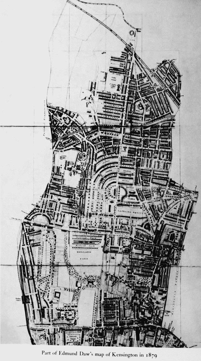
'Plate 4: Part of Edmund Daw's map of Kensington in 1879.', in Survey of London: Volume 37, Northern Kensington, ed. F H W Sheppard (London, 1973), British History Online https://prod.british-history.ac.uk/survey-london/vol37/plate-4 [accessed 15 April 2025].
'Plate 4: Part of Edmund Daw's map of Kensington in 1879.', in Survey of London: Volume 37, Northern Kensington. Edited by F H W Sheppard (London, 1973), British History Online, accessed April 15, 2025, https://prod.british-history.ac.uk/survey-london/vol37/plate-4.
"Plate 4: Part of Edmund Daw's map of Kensington in 1879.". Survey of London: Volume 37, Northern Kensington. Ed. F H W Sheppard (London, 1973), British History Online. Web. 15 April 2025. https://prod.british-history.ac.uk/survey-london/vol37/plate-4.
Part of Edmund Daw's map of Kensington in 1879
Part of Edmund Daw's maps of Kensington in 1848, 1863 and 1879.
Part of Edmund Daw's map of Kensington in 1879