Survey of London: Volume 36, Covent Garden. Originally published by London County Council, London, 1970.
This free content was digitised by double rekeying. All rights reserved.
'Plate 55', in Survey of London: Volume 36, Covent Garden, ed. F H W Sheppard (London, 1970), British History Online https://prod.british-history.ac.uk/survey-london/vol36/plate-55 [accessed 18 April 2025].
'Plate 55', in Survey of London: Volume 36, Covent Garden. Edited by F H W Sheppard (London, 1970), British History Online, accessed April 18, 2025, https://prod.british-history.ac.uk/survey-london/vol36/plate-55.
"Plate 55". Survey of London: Volume 36, Covent Garden. Ed. F H W Sheppard (London, 1970), British History Online. Web. 18 April 2025. https://prod.british-history.ac.uk/survey-london/vol36/plate-55.
In this section
a. No. 8 Russell Street, 1759–60, in mid nineteenth century (p. 193)

No. 8 Russell Street.
b. No. 8 Russell Street in 1968 (p. 193)
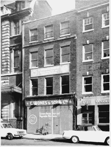
No. 8 Russell Street.
c. Tallis's view of north (top) and south sides of King Street in c. 1838–40
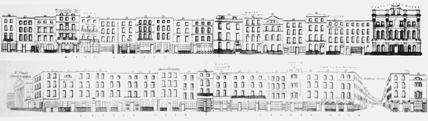
King Street.