Survey of London: Volume 28, Brooke House, Hackney. Originally published by London County Council, London, 1960.
This free content was digitised by double rekeying. All rights reserved.
W A Eden, Marie P G Draper, W F Grimes, Audrey Williams, 'Plate 14: Brooke House, exterior views', in Survey of London: Volume 28, Brooke House, Hackney(London, 1960), British History Online https://prod.british-history.ac.uk/survey-london/vol28/plate-14 [accessed 26 April 2025].
W A Eden, Marie P G Draper, W F Grimes, Audrey Williams, 'Plate 14: Brooke House, exterior views', in Survey of London: Volume 28, Brooke House, Hackney(London, 1960), British History Online, accessed April 26, 2025, https://prod.british-history.ac.uk/survey-london/vol28/plate-14.
W A Eden, Marie P G Draper, W F Grimes, Audrey Williams. "Plate 14: Brooke House, exterior views". Survey of London: Volume 28, Brooke House, Hackney. (London, 1960), British History Online. Web. 26 April 2025. https://prod.british-history.ac.uk/survey-london/vol28/plate-14.
In this section
East Front
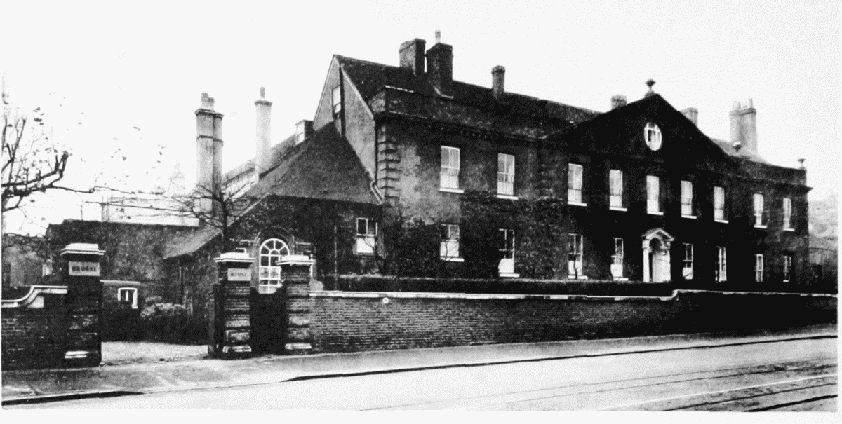
East Front after road-widening and demolition of cottage.
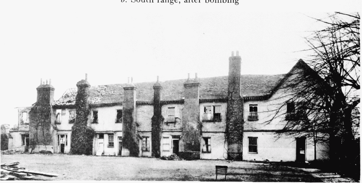
South Range
South Range after bombing.
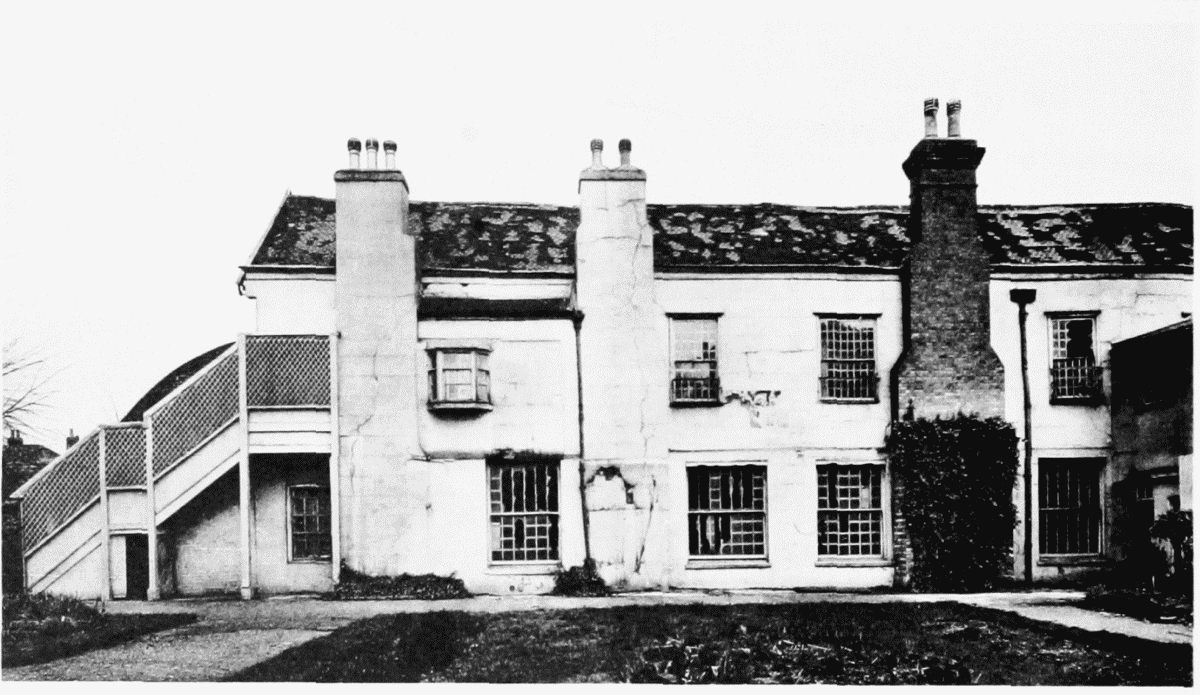
West Range
West Range after bombing.