Survey of London: Volume 27, Spitalfields and Mile End New Town. Originally published by London County Council, London, 1957.
This free content was digitised by double rekeying. All rights reserved.
'Plate 65: Fournier Street', in Survey of London: Volume 27, Spitalfields and Mile End New Town, ed. F H W Sheppard (London, 1957), British History Online https://prod.british-history.ac.uk/survey-london/vol27/plate-65 [accessed 4 April 2025].
'Plate 65: Fournier Street', in Survey of London: Volume 27, Spitalfields and Mile End New Town. Edited by F H W Sheppard (London, 1957), British History Online, accessed April 4, 2025, https://prod.british-history.ac.uk/survey-london/vol27/plate-65.
"Plate 65: Fournier Street". Survey of London: Volume 27, Spitalfields and Mile End New Town. Ed. F H W Sheppard (London, 1957), British History Online. Web. 4 April 2025. https://prod.british-history.ac.uk/survey-london/vol27/plate-65.
In this section
Fournier Street
a. Nos. 2-22 (1726, various lessees) (pp. 199, 205)
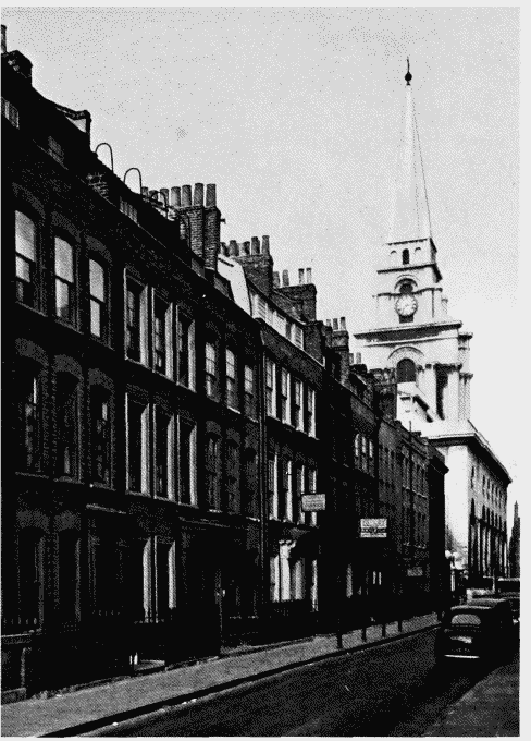
Nos. 2–22 Fournier Street
Nos. 2-22 (1726, various lessees) (pp. 199, 205)
b. Nos. 13-37(1725. various lessees), 39 (pp. 217-21)
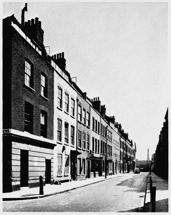
Nos. 13–39 Fournier Street
Nos. 13-37(1725. various lessees), 39 (pp. 217-21)