Survey of London: Volume 26, Lambeth: Southern Area. Originally published by London County Council, London, 1956.
This free content was digitised by double rekeying. All rights reserved.
'Plate 5: St. Matthew's Church, Brixton, east elevation.', in Survey of London: Volume 26, Lambeth: Southern Area, ed. F H W Sheppard (London, 1956), British History Online https://prod.british-history.ac.uk/survey-london/vol26/plate-5 [accessed 25 April 2025].
'Plate 5: St. Matthew's Church, Brixton, east elevation.', in Survey of London: Volume 26, Lambeth: Southern Area. Edited by F H W Sheppard (London, 1956), British History Online, accessed April 25, 2025, https://prod.british-history.ac.uk/survey-london/vol26/plate-5.
"Plate 5: St. Matthew's Church, Brixton, east elevation.". Survey of London: Volume 26, Lambeth: Southern Area. Ed. F H W Sheppard (London, 1956), British History Online. Web. 25 April 2025. https://prod.british-history.ac.uk/survey-london/vol26/plate-5.
In this section
St. Matthew's, Brixton, 1822-4.
C. F. Porden, arctitect (p. 132)
a. East elevation
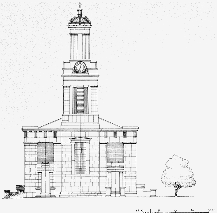
St. Matthew's Church, Brixton, east elevation.
East elevation
b. West elevation
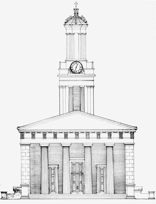
St. Matthew's Church, Brixton, west elevation.
West elevation