Survey of London: Volume 26, Lambeth: Southern Area. Originally published by London County Council, London, 1956.
This free content was digitised by double rekeying. All rights reserved.
'Plate 39', in Survey of London: Volume 26, Lambeth: Southern Area, ed. F H W Sheppard (London, 1956), British History Online https://prod.british-history.ac.uk/survey-london/vol26/plate-39 [accessed 25 April 2025].
'Plate 39', in Survey of London: Volume 26, Lambeth: Southern Area. Edited by F H W Sheppard (London, 1956), British History Online, accessed April 25, 2025, https://prod.british-history.ac.uk/survey-london/vol26/plate-39.
"Plate 39". Survey of London: Volume 26, Lambeth: Southern Area. Ed. F H W Sheppard (London, 1956), British History Online. Web. 25 April 2025. https://prod.british-history.ac.uk/survey-london/vol26/plate-39.
In this section
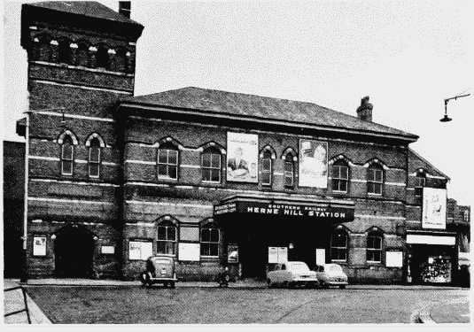
a. Herne Hill Station, c. 1863 (p.152)
Herne Hill Station
Herne Hill Station, c. 1863 (p.152)
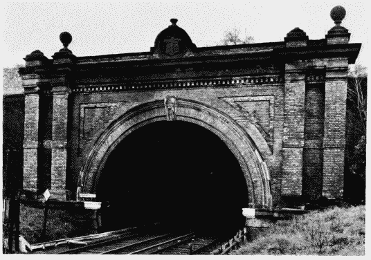
b. Knight's Hill tunnel, 1868 (p. 187)
Knight's Hill tunnel
Knight's Hill tunnel, 1868 (p. 187)
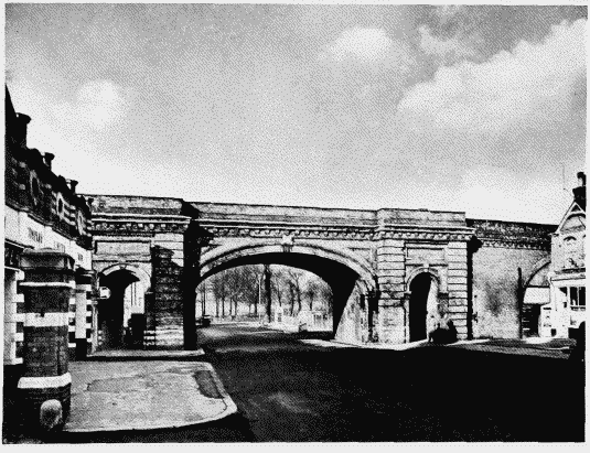
c. Railway bridge, Rosendale Road, 1869 (p. 187)
Railway bridge, Rosendale Road
Railway bridge, Rosendale Road, 1869 (p. 187)
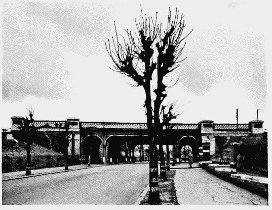
d. Railway bridge, Rosendale Road, 1868 (p. 187)
Railway bridge, Rosendale Road
Railway bridge, Rosendale Road, 1868 (p. 187)