Survey of London: Volume 24, the Parish of St Pancras Part 4: King's Cross Neighbourhood. Originally published by London County Council, London, 1952.
This free content was digitised by double rekeying. All rights reserved.
'Index map', in Survey of London: Volume 24, the Parish of St Pancras Part 4: King's Cross Neighbourhood, ed. Walter H Godfrey, W McB. Marcham (London, 1952), British History Online https://prod.british-history.ac.uk/survey-london/vol24/pt4/plate-98 [accessed 6 May 2025].
'Index map', in Survey of London: Volume 24, the Parish of St Pancras Part 4: King's Cross Neighbourhood. Edited by Walter H Godfrey, W McB. Marcham (London, 1952), British History Online, accessed May 6, 2025, https://prod.british-history.ac.uk/survey-london/vol24/pt4/plate-98.
"Index map". Survey of London: Volume 24, the Parish of St Pancras Part 4: King's Cross Neighbourhood. Ed. Walter H Godfrey, W McB. Marcham (London, 1952), British History Online. Web. 6 May 2025. https://prod.british-history.ac.uk/survey-london/vol24/pt4/plate-98.
MAP OF THE PARISH OF ST PANCRAS
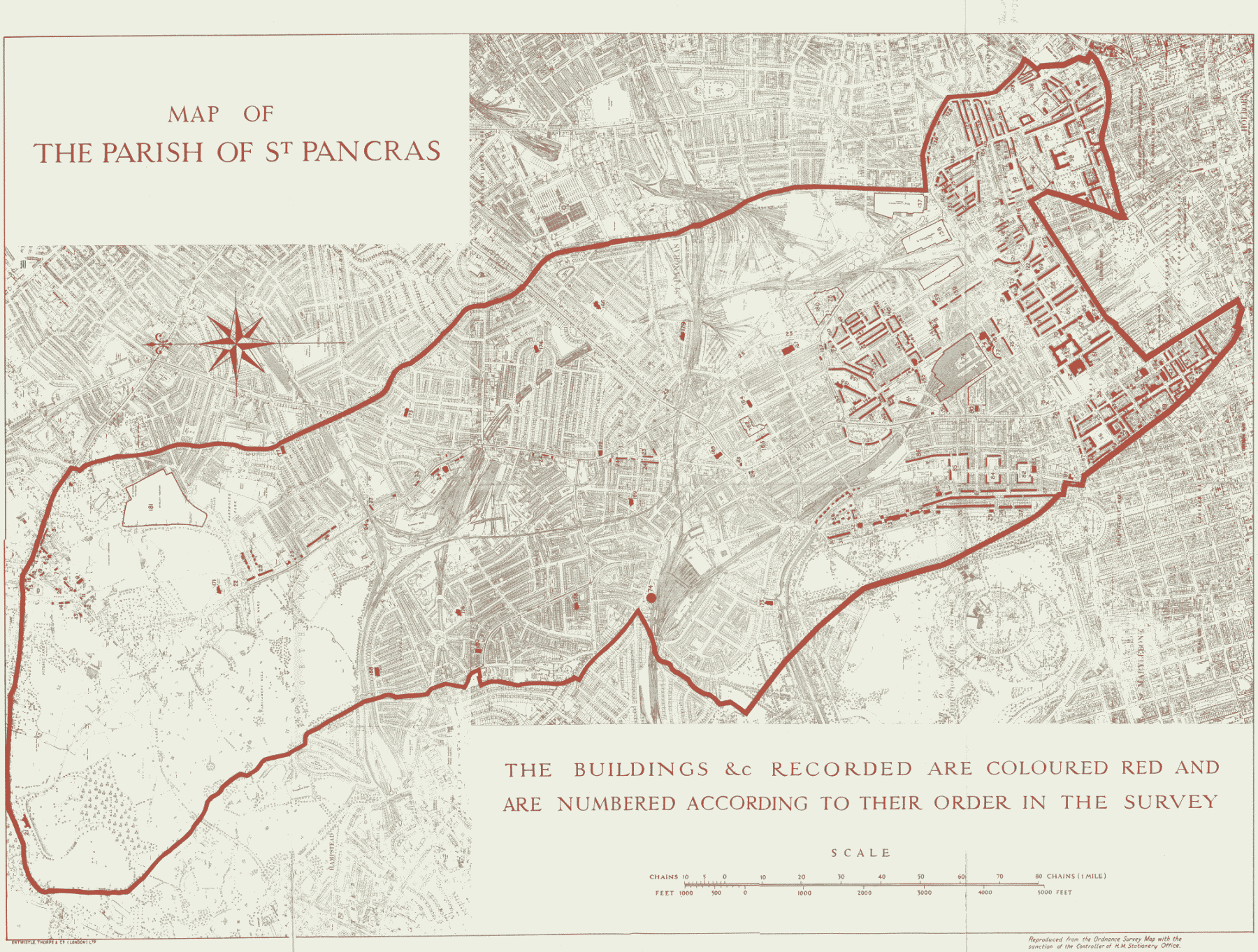
THE BUILDINGS &c RECORDED ARE COLOURED RED AND ARE NUMBERED ACCORDING TO THEIR ORDER IN THE SURVEY