Survey of London: Volume 24, the Parish of St Pancras Part 4: King's Cross Neighbourhood. Originally published by London County Council, London, 1952.
This free content was digitised by double rekeying. All rights reserved.
'Plate 96: St. Martin's, Gospel Oak, and St Thomas's, Wrotham Road', in Survey of London: Volume 24, the Parish of St Pancras Part 4: King's Cross Neighbourhood, ed. Walter H Godfrey, W McB. Marcham (London, 1952), British History Online https://prod.british-history.ac.uk/survey-london/vol24/pt4/plate-96 [accessed 16 April 2025].
'Plate 96: St. Martin's, Gospel Oak, and St Thomas's, Wrotham Road', in Survey of London: Volume 24, the Parish of St Pancras Part 4: King's Cross Neighbourhood. Edited by Walter H Godfrey, W McB. Marcham (London, 1952), British History Online, accessed April 16, 2025, https://prod.british-history.ac.uk/survey-london/vol24/pt4/plate-96.
"Plate 96: St. Martin's, Gospel Oak, and St Thomas's, Wrotham Road". Survey of London: Volume 24, the Parish of St Pancras Part 4: King's Cross Neighbourhood. Ed. Walter H Godfrey, W McB. Marcham (London, 1952), British History Online. Web. 16 April 2025. https://prod.british-history.ac.uk/survey-london/vol24/pt4/plate-96.
In this section
(a) ST. MARTIN'S, VICAR'S ROAD
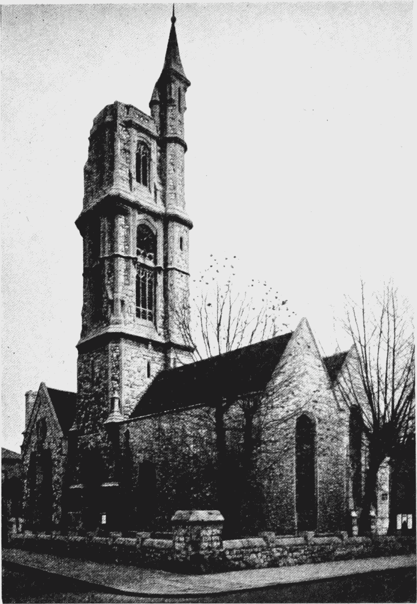
St. Martin's, Gospel Oak
(b) ST. THOMAS', WROTHAM ROAD
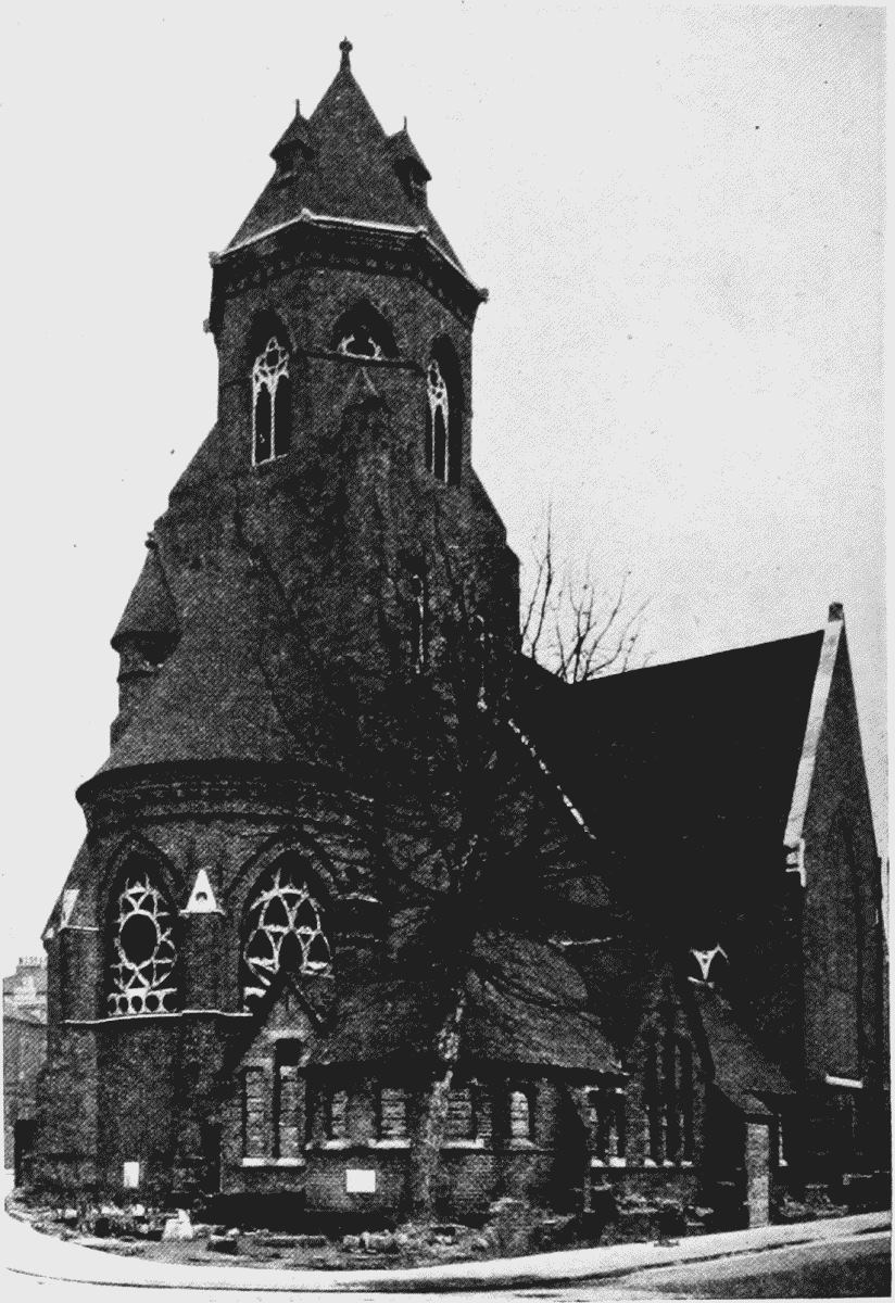
St. Thomas', Wrotham Road