Survey of London: Volume 24, the Parish of St Pancras Part 4: King's Cross Neighbourhood. Originally published by London County Council, London, 1952.
This free content was digitised by double rekeying. All rights reserved.
'Plate 88: Nos. 33-39, Charrington Street', in Survey of London: Volume 24, the Parish of St Pancras Part 4: King's Cross Neighbourhood, ed. Walter H Godfrey, W McB. Marcham (London, 1952), British History Online https://prod.british-history.ac.uk/survey-london/vol24/pt4/plate-88 [accessed 16 April 2025].
'Plate 88: Nos. 33-39, Charrington Street', in Survey of London: Volume 24, the Parish of St Pancras Part 4: King's Cross Neighbourhood. Edited by Walter H Godfrey, W McB. Marcham (London, 1952), British History Online, accessed April 16, 2025, https://prod.british-history.ac.uk/survey-london/vol24/pt4/plate-88.
"Plate 88: Nos. 33-39, Charrington Street". Survey of London: Volume 24, the Parish of St Pancras Part 4: King's Cross Neighbourhood. Ed. Walter H Godfrey, W McB. Marcham (London, 1952), British History Online. Web. 16 April 2025. https://prod.british-history.ac.uk/survey-london/vol24/pt4/plate-88.
Nos. 33 to 39 CHARRINGTON STREET
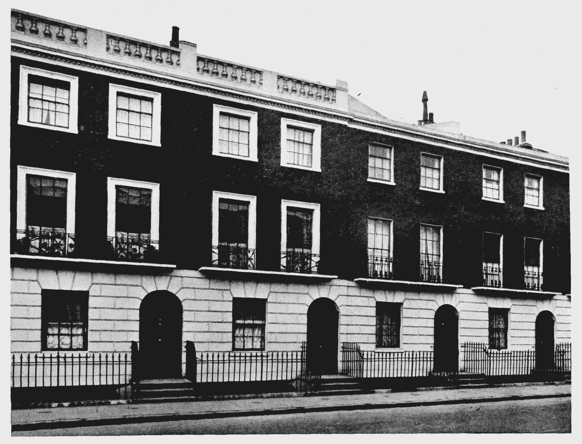
Nos. 33–39, Charrington Street