Survey of London: Volume 24, the Parish of St Pancras Part 4: King's Cross Neighbourhood. Originally published by London County Council, London, 1952.
This free content was digitised by double rekeying. All rights reserved.
'Plate 2: Section of map of St. Pancras by John Tompson (circa 1803) (upper part of Gray's Inn Road).', in Survey of London: Volume 24, the Parish of St Pancras Part 4: King's Cross Neighbourhood, ed. Walter H Godfrey, W McB. Marcham (London, 1952), British History Online https://prod.british-history.ac.uk/survey-london/vol24/pt4/plate-2 [accessed 5 May 2025].
'Plate 2: Section of map of St. Pancras by John Tompson (circa 1803) (upper part of Gray's Inn Road).', in Survey of London: Volume 24, the Parish of St Pancras Part 4: King's Cross Neighbourhood. Edited by Walter H Godfrey, W McB. Marcham (London, 1952), British History Online, accessed May 5, 2025, https://prod.british-history.ac.uk/survey-london/vol24/pt4/plate-2.
"Plate 2: Section of map of St. Pancras by John Tompson (circa 1803) (upper part of Gray's Inn Road).". Survey of London: Volume 24, the Parish of St Pancras Part 4: King's Cross Neighbourhood. Ed. Walter H Godfrey, W McB. Marcham (London, 1952), British History Online. Web. 5 May 2025. https://prod.british-history.ac.uk/survey-london/vol24/pt4/plate-2.
SECTION OF JOHN TOMPSON'S MAP OF THE PARISH (circa 1803)
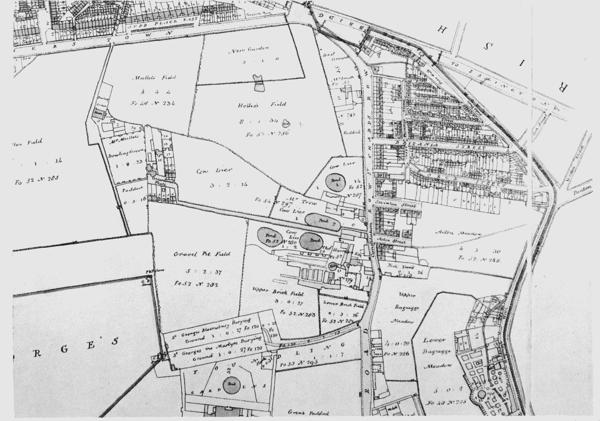
Section of map of St. Pancras by John Tompson (circa 1803) (upper part of Gray's Inn Road).