Survey of London: Volume 23, Lambeth: South Bank and Vauxhall. Originally published by London County Council, London, 1951.
This free content was digitised by double rekeying. All rights reserved.
'Plate 56', in Survey of London: Volume 23, Lambeth: South Bank and Vauxhall, ed. Howard Roberts, Walter H Godfrey (London, 1951), British History Online https://prod.british-history.ac.uk/survey-london/vol23/plate-56 [accessed 4 April 2025].
'Plate 56', in Survey of London: Volume 23, Lambeth: South Bank and Vauxhall. Edited by Howard Roberts, Walter H Godfrey (London, 1951), British History Online, accessed April 4, 2025, https://prod.british-history.ac.uk/survey-london/vol23/plate-56.
"Plate 56". Survey of London: Volume 23, Lambeth: South Bank and Vauxhall. Ed. Howard Roberts, Walter H Godfrey (London, 1951), British History Online. Web. 4 April 2025. https://prod.british-history.ac.uk/survey-london/vol23/plate-56.
In this section
(a) LAMBETH REACH, circa 1860
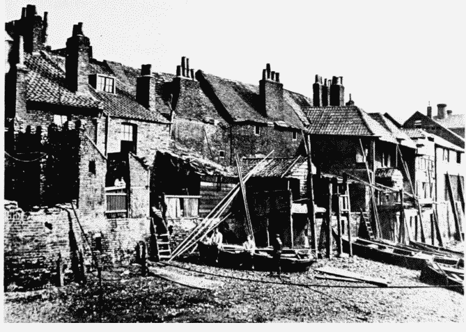
Lambeth Reach, circa 1860
LAMBETH REACH, circa 1860
(b) WEST SIDE OF STANGATE, circa 1860
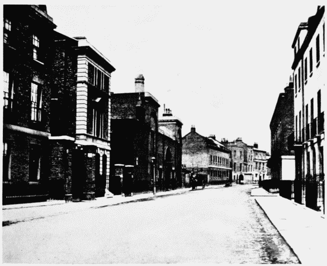
West side of Stangate, site of St. Thomas' Hospital, circa 1860
WEST SIDE OF STANGATE, circa 1860