Survey of London: Volume 23, Lambeth: South Bank and Vauxhall. Originally published by London County Council, London, 1951.
This free content was digitised by double rekeying. All rights reserved.
'Plate 110', in Survey of London: Volume 23, Lambeth: South Bank and Vauxhall, ed. Howard Roberts, Walter H Godfrey (London, 1951), British History Online https://prod.british-history.ac.uk/survey-london/vol23/plate-110 [accessed 12 April 2025].
'Plate 110', in Survey of London: Volume 23, Lambeth: South Bank and Vauxhall. Edited by Howard Roberts, Walter H Godfrey (London, 1951), British History Online, accessed April 12, 2025, https://prod.british-history.ac.uk/survey-london/vol23/plate-110.
"Plate 110". Survey of London: Volume 23, Lambeth: South Bank and Vauxhall. Ed. Howard Roberts, Walter H Godfrey (London, 1951), British History Online. Web. 12 April 2025. https://prod.british-history.ac.uk/survey-london/vol23/plate-110.
In this section
(a) ROYAL STREET, NORTH SIDE, circa 1880

Royal Street, north side, circa 1880
ROYAL STREET, NORTH SIDE, circa 1880
(b) CHURCH OF THE HOLY TRINITY, CARLISLE LANE, 1950
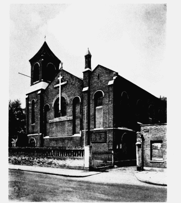
Church of Holy Trinity, Carlisle Lane, 1950
CHURCH OF THE HOLY TRINITY, CARLISLE LANE, 1950