Survey of London: Volume 22, Bankside (The Parishes of St. Saviour and Christchurch Southwark). Originally published by London County Council, London, 1950.
This free content was digitised by double rekeying. All rights reserved.
'Plate 40: Montague Close and St. Saviour's Dock', in Survey of London: Volume 22, Bankside (The Parishes of St. Saviour and Christchurch Southwark), ed. Howard Roberts, Walter H Godfrey (London, 1950), British History Online https://prod.british-history.ac.uk/survey-london/vol22/plate-40 [accessed 26 April 2025].
'Plate 40: Montague Close and St. Saviour's Dock', in Survey of London: Volume 22, Bankside (The Parishes of St. Saviour and Christchurch Southwark). Edited by Howard Roberts, Walter H Godfrey (London, 1950), British History Online, accessed April 26, 2025, https://prod.british-history.ac.uk/survey-london/vol22/plate-40.
"Plate 40: Montague Close and St. Saviour's Dock". Survey of London: Volume 22, Bankside (The Parishes of St. Saviour and Christchurch Southwark). Ed. Howard Roberts, Walter H Godfrey (London, 1950), British History Online. Web. 26 April 2025. https://prod.british-history.ac.uk/survey-london/vol22/plate-40.
In this section
(a) MONTAGUE CLOSE
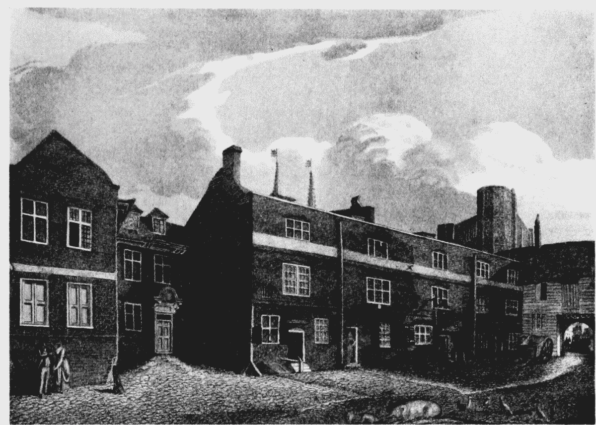
Montague Close. "A North-west View of the House of William Parker, Lord Monteagle", 1825
(b) SAINT SAVIOUR'S DOCK, 1827
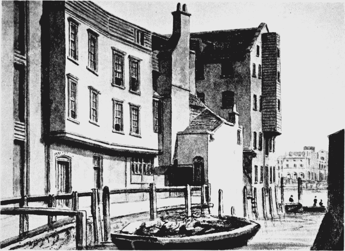
Old houses adjoining Saint Saviour's Dock, 1827