Survey of London: Volume 22, Bankside (The Parishes of St. Saviour and Christchurch Southwark). Originally published by London County Council, London, 1950.
This free content was digitised by double rekeying. All rights reserved.
'Plate 34: Guy's Hospital. Elevations and section', in Survey of London: Volume 22, Bankside (The Parishes of St. Saviour and Christchurch Southwark), ed. Howard Roberts, Walter H Godfrey (London, 1950), British History Online https://prod.british-history.ac.uk/survey-london/vol22/plate-34 [accessed 26 April 2025].
'Plate 34: Guy's Hospital. Elevations and section', in Survey of London: Volume 22, Bankside (The Parishes of St. Saviour and Christchurch Southwark). Edited by Howard Roberts, Walter H Godfrey (London, 1950), British History Online, accessed April 26, 2025, https://prod.british-history.ac.uk/survey-london/vol22/plate-34.
"Plate 34: Guy's Hospital. Elevations and section". Survey of London: Volume 22, Bankside (The Parishes of St. Saviour and Christchurch Southwark). Ed. Howard Roberts, Walter H Godfrey (London, 1950), British History Online. Web. 26 April 2025. https://prod.british-history.ac.uk/survey-london/vol22/plate-34.
GUY'S HOSPITAL
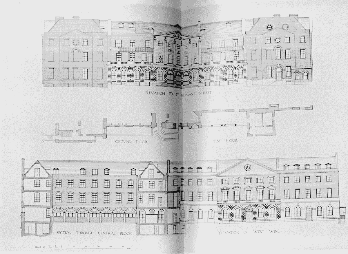
Guy's Hospital. Elevation to St. Thomas Street, section through central block and elevation of west wing