Survey of London: Volume 20, St Martin-in-The-Fields, Pt III: Trafalgar Square and Neighbourhood. Originally published by London County Council, London, 1940.
This free content was digitised by double rekeying. All rights reserved.
'Plate 34: St. Martin's Place and churchyard', in Survey of London: Volume 20, St Martin-in-The-Fields, Pt III: Trafalgar Square and Neighbourhood, ed. G H Gater, F R Hiorns (London, 1940), British History Online https://prod.british-history.ac.uk/survey-london/vol20/pt3/plate-34 [accessed 15 April 2025].
'Plate 34: St. Martin's Place and churchyard', in Survey of London: Volume 20, St Martin-in-The-Fields, Pt III: Trafalgar Square and Neighbourhood. Edited by G H Gater, F R Hiorns (London, 1940), British History Online, accessed April 15, 2025, https://prod.british-history.ac.uk/survey-london/vol20/pt3/plate-34.
"Plate 34: St. Martin's Place and churchyard". Survey of London: Volume 20, St Martin-in-The-Fields, Pt III: Trafalgar Square and Neighbourhood. Ed. G H Gater, F R Hiorns (London, 1940), British History Online. Web. 15 April 2025. https://prod.british-history.ac.uk/survey-london/vol20/pt3/plate-34.
In this section
(a) ST. MARTIN'S PLACE, EAST SIDE (p. 55)
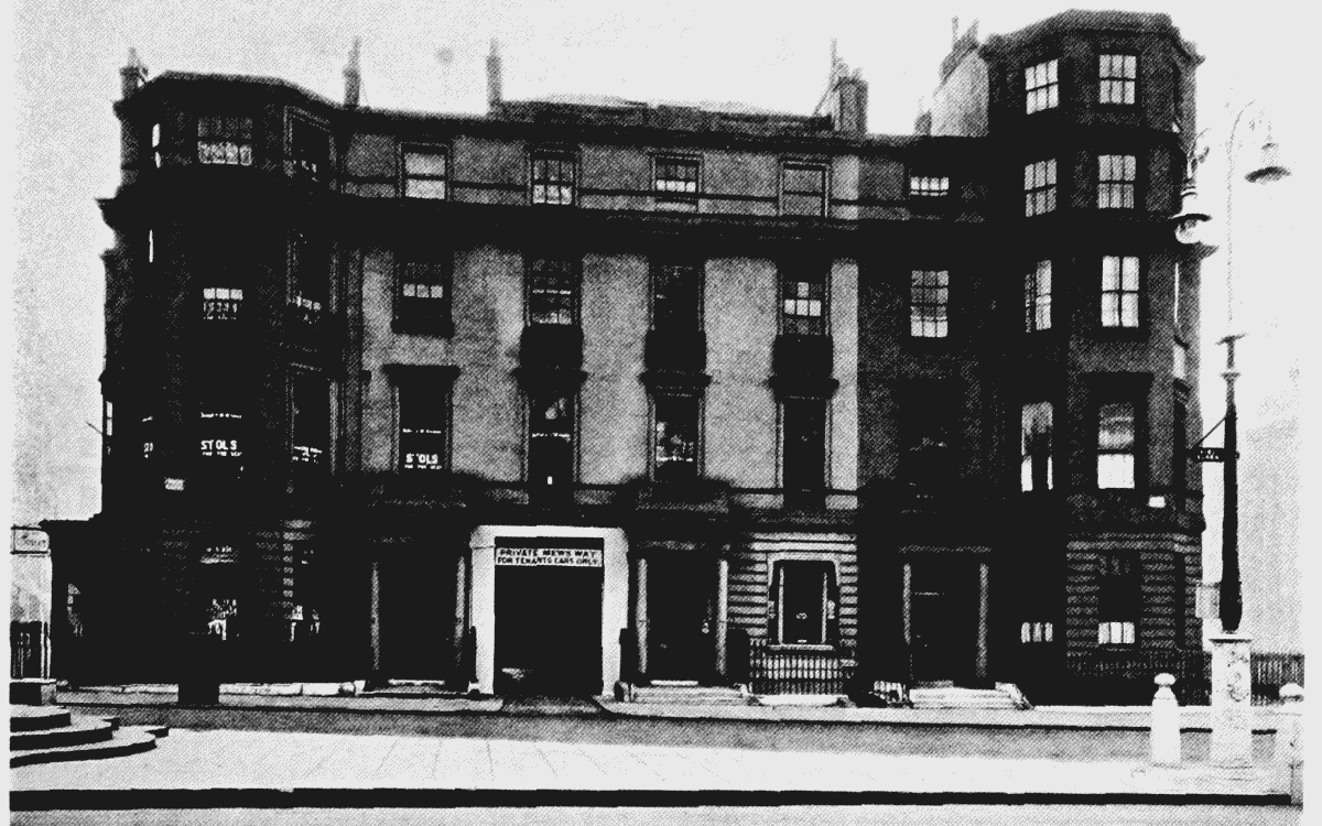
St. Martin's Place, east side
(b) ST. MARTIN'S CHURCHYARD, NORTH SIDE, SHOWING VESTRY HALL AND SCHOOL (p. 55)
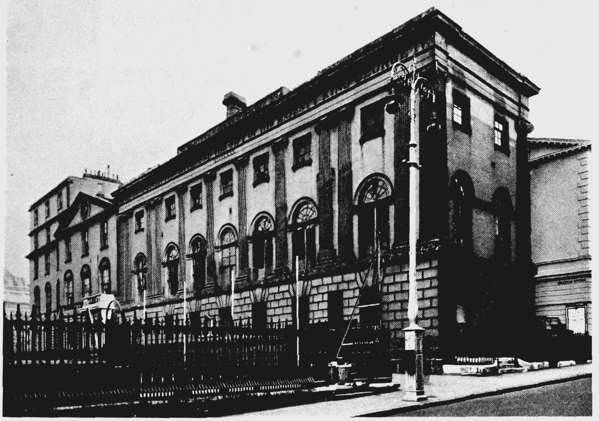
St. Martin's churchyard, north side, showing vestry hall and school