Survey of London: Volume 20, St Martin-in-The-Fields, Pt III: Trafalgar Square and Neighbourhood. Originally published by London County Council, London, 1940.
This free content was digitised by double rekeying. All rights reserved.
'Plate 107: St. Martin's Lane, elevations', in Survey of London: Volume 20, St Martin-in-The-Fields, Pt III: Trafalgar Square and Neighbourhood, ed. G H Gater, F R Hiorns (London, 1940), British History Online https://prod.british-history.ac.uk/survey-london/vol20/pt3/plate-107 [accessed 16 April 2025].
'Plate 107: St. Martin's Lane, elevations', in Survey of London: Volume 20, St Martin-in-The-Fields, Pt III: Trafalgar Square and Neighbourhood. Edited by G H Gater, F R Hiorns (London, 1940), British History Online, accessed April 16, 2025, https://prod.british-history.ac.uk/survey-london/vol20/pt3/plate-107.
"Plate 107: St. Martin's Lane, elevations". Survey of London: Volume 20, St Martin-in-The-Fields, Pt III: Trafalgar Square and Neighbourhood. Ed. G H Gater, F R Hiorns (London, 1940), British History Online. Web. 16 April 2025. https://prod.british-history.ac.uk/survey-london/vol20/pt3/plate-107.
In this section
ST. MARTIN'S LANE
(a) ELEVATION TO Nos. 42, 43 AND 44 (pp. 118, 119)
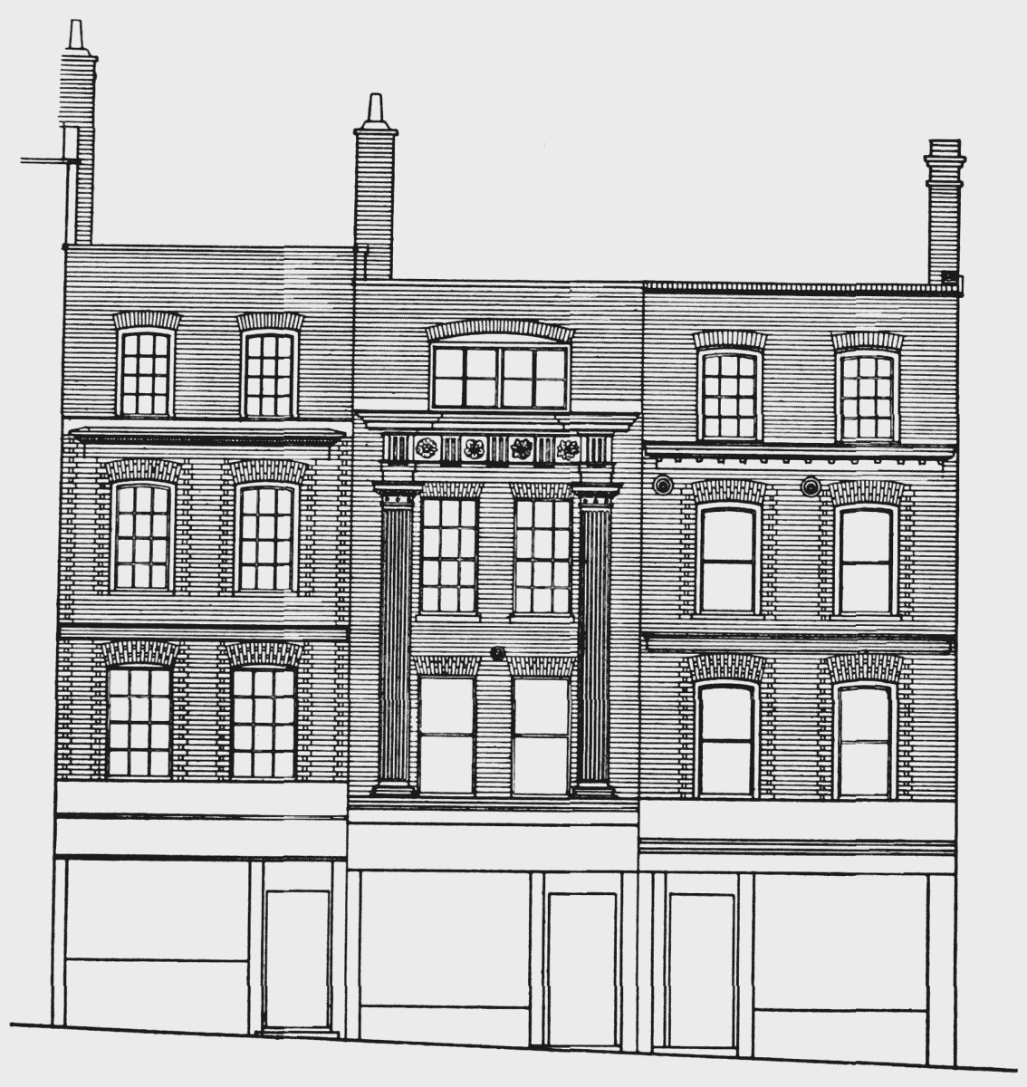
Elevation to Nos. 42, 43 and 44
(b) No. 43 IN 1871
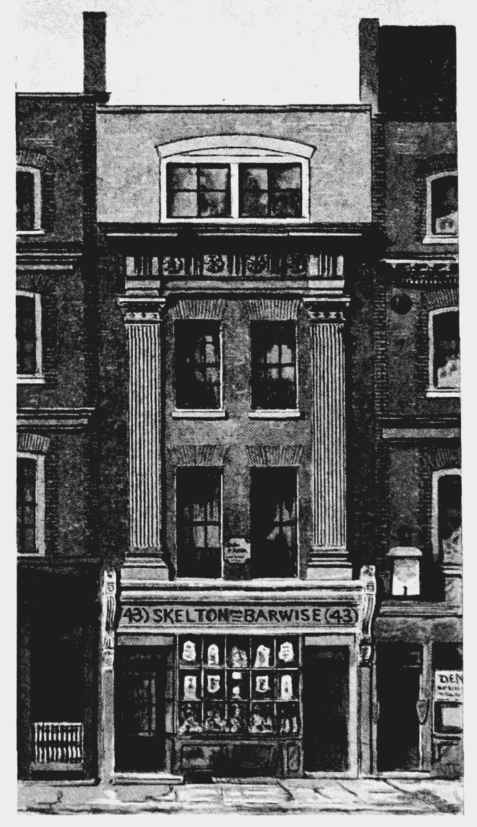
No. 43 in 1871